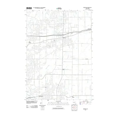
2010 Map of Webster
USGS Topo · Published 2010About this map
Webster and Penfield anchor this detailed landscape of eastern Monroe County, showing the suburban character of the Rochester area in the early 21st century. The map is defined by a dense network of local roads and residential expansion that contrasts sharply with the expansive preserved wilderness of the Thousand Acre Swamp in the center of the sheet. This large wetland area, drained by Thousand Acre Brook, represents a significant natural break in the surrounding development.
Find a feature on this map
55 named features on this map. Tap any name to fly to it.
Don’t see what you’re looking for? This feature index may not catch every label — zoom into the map to look around manually.
Map Details
Editions of this 2010 Webster Map
This is the sole edition of this map. No revisions or reprints were ever made.
Other maps of this area

1895 · Rochester
USGS Topo · 1:62,500

1895 · Ontario Beach
USGS Topo · 1:62,500

1898 · Rochester
USGS Topo · 1:62,500

1899 · Ontario Beach
USGS Topo · 1:62,500

1900 · Macedon
USGS Topo · 1:62,500

1912 · Rochester
USGS Topo · 1:62,500

1912 · Ontario Beach
USGS Topo · 1:62,500

1920 · Rochester
USGS Topo · 1:62,500

1931 · Mendon Ponds
USGS Topo · 1:24,000

1931 · Rochester East
USGS Topo · 1:24,000