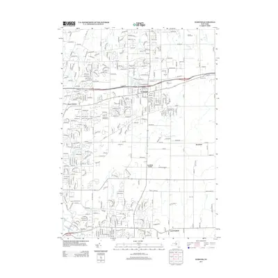
2013 Map of Webster
USGS Topo · Published 2013About this map
Webster and its surrounding suburban landscape are defined by a complex network of residential streets and natural drainage systems just south of Lake Ontario. The area transition from the village center out toward Penfield Center and West Webster is marked by numerous historic burial sites, including the Webster Rural Cem and the Pioneer Burying Ground. These sites, alongside larger family-named cemeteries like Oakwood Cem and Smith Cem, provide significant touchpoints for genealogical research in this part of Monroe County. Waterways such as Thousand Acre Brook and Thomas Cr weave through the development, while community landmarks like Schutts Farm and the Webster Golf Course illustrate the local shift from traditional agriculture to modern recreation. This 2013 survey provides a detailed record of the road infrastructure and local institutions that shaped the township during the early 21st century.
Find a feature on this map
311 named features on this map. Tap any name to fly to it.
Don’t see what you’re looking for? This feature index may not catch every label — zoom into the map to look around manually.
Map Details
Editions of this 2013 Webster Map
This is the sole edition of this map. No revisions or reprints were ever made.
Other maps of this area

1895 · Rochester
USGS Topo · 1:62,500

1895 · Ontario Beach
USGS Topo · 1:62,500

1898 · Rochester
USGS Topo · 1:62,500

1899 · Ontario Beach
USGS Topo · 1:62,500

1900 · Macedon
USGS Topo · 1:62,500

1912 · Rochester
USGS Topo · 1:62,500

1912 · Ontario Beach
USGS Topo · 1:62,500

1920 · Rochester
USGS Topo · 1:62,500

1931 · Mendon Ponds
USGS Topo · 1:24,000

1931 · Rochester East
USGS Topo · 1:24,000