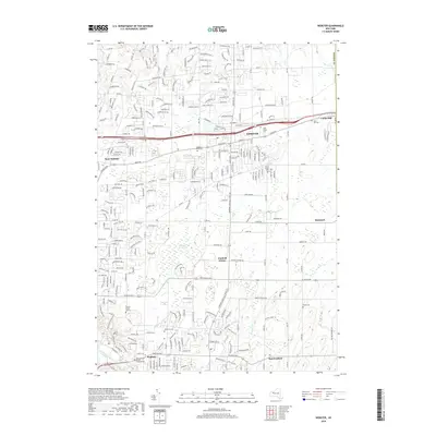
2019 Map of Webster
USGS Topo · Published 2019About this map
Thousand Acre Swamp dominates the central landscape of this Monroe County region, providing a significant natural anchor between the developing residential corridors of Webster and Penfield. The map reveals a dense network of local history through its numerous burial sites, ranging from the Pioneer Burial Ground near Irondequoit Creek to larger memorial parks like Webster Rural Cem and Oakwood Cem.
Find a feature on this map
251 named features on this map. Tap any name to fly to it.
Don’t see what you’re looking for? This feature index may not catch every label — zoom into the map to look around manually.
Map Details
Editions of this 2019 Webster Map
This is the sole edition of this map. No revisions or reprints were ever made.
Other maps of this area

1895 · Rochester
USGS Topo · 1:62,500

1895 · Ontario Beach
USGS Topo · 1:62,500

1898 · Rochester
USGS Topo · 1:62,500

1899 · Ontario Beach
USGS Topo · 1:62,500

1900 · Macedon
USGS Topo · 1:62,500

1912 · Rochester
USGS Topo · 1:62,500

1912 · Ontario Beach
USGS Topo · 1:62,500

1920 · Rochester
USGS Topo · 1:62,500

1931 · Mendon Ponds
USGS Topo · 1:24,000

1931 · Rochester East
USGS Topo · 1:24,000