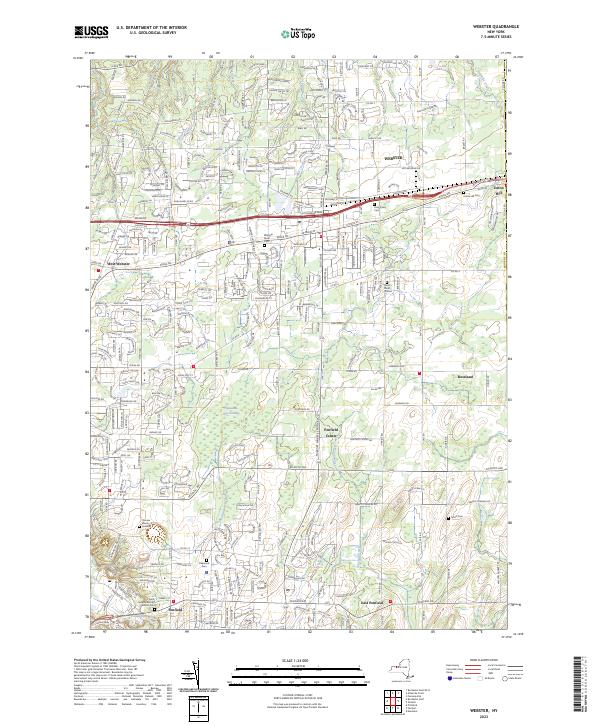
2023 Map of Webster
USGS Topo · Published 2023About this map
Webster and the surrounding suburban and rural landscapes of eastern Monroe County are documented in this recent topographical survey. The residential growth of West Webster and Penfield contrasts with the preserved natural expanse of the Thousand Acre Swamp and its associated Thousand Acre Brook. This area is characterized by several historic burial sites, ranging from the large Oakwood Cem to the smaller Pioneer Burial Ground and the Smith Cem near Roseland.
Find a feature on this map
286 named features on this map. Tap any name to fly to it.
Don’t see what you’re looking for? This feature index may not catch every label — zoom into the map to look around manually.
Map Details
Editions of this 2023 Webster Map
This is the sole edition of this map. No revisions or reprints were ever made.
Other maps of this area

1895 · Rochester
USGS Topo · 1:62,500

1895 · Ontario Beach
USGS Topo · 1:62,500

1898 · Rochester
USGS Topo · 1:62,500

1899 · Ontario Beach
USGS Topo · 1:62,500

1900 · Macedon
USGS Topo · 1:62,500

1912 · Rochester
USGS Topo · 1:62,500

1912 · Ontario Beach
USGS Topo · 1:62,500

1920 · Rochester
USGS Topo · 1:62,500

1931 · Mendon Ponds
USGS Topo · 1:24,000

1931 · Rochester East
USGS Topo · 1:24,000