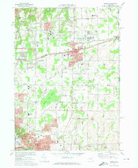
1971 Map of Webster
USGS Topo · Published 1974About this map
The town of Webster serves as a primary hub of residential and civic activity in the early 1970s, situated between the expansive Webster Park on the northern lakefront and the industrial corridors of the Penn Central railroad. This survey captures a period of significant educational expansion, documented by numerous local campuses including Thomas High Sch, Schroeder Sch, and Baird Road Sch. The landscape is defined by the contrast between organized suburban development and the preserved wetlands of Thousand Acre Swamp in the central portion of the quadrangle.
Find a feature on this map
77 named features on this map. Tap any name to fly to it.
Don’t see what you’re looking for? This feature index may not catch every label — zoom into the map to look around manually.
Map Details
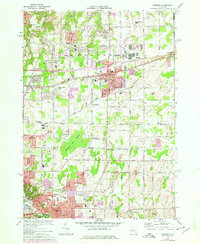
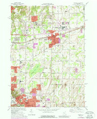
Editions of this 1971 Webster Map
3 editions found
Other maps of this area

1895 · Rochester
USGS Topo · 1:62,500

1895 · Ontario Beach
USGS Topo · 1:62,500

1898 · Rochester
USGS Topo · 1:62,500

1899 · Ontario Beach
USGS Topo · 1:62,500

1900 · Macedon
USGS Topo · 1:62,500

1912 · Rochester
USGS Topo · 1:62,500

1912 · Ontario Beach
USGS Topo · 1:62,500

1920 · Rochester
USGS Topo · 1:62,500

1931 · Mendon Ponds
USGS Topo · 1:24,000

1931 · Rochester East
USGS Topo · 1:24,000