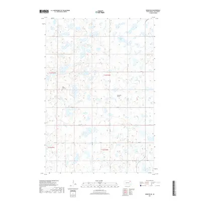
2017 Map of Webster NE
USGS Topo · Published 2017About this map
Tabor Lutheran Church Cem stands as a focal point in this portion of Day County, reflecting the Scandinavian-American heritage that shaped the region's early settlement patterns. Situated atop the Coteau des Prairies, an expansive upland plateau formed by glacial activity, the landscape is defined by its numerous small potholes and water bodies. The terrain's natural drainage is captured by features like Goose Lake, while the human imprint is marked by a strict grid of section-line roads, including Co Rd 19 and Co Rd 12. This 2017 survey illustrates the enduring agricultural character of the South Dakota plains, where family-linked landmarks and small rural churches remain the primary anchors of local identity amidst the prairie wetlands.
Find a feature on this map
17 named features on this map. Tap any name to fly to it.
Don’t see what you’re looking for? This feature index may not catch every label — zoom into the map to look around manually.
Map Details
Editions of this 2017 Webster NE Map
This is the sole edition of this map. No revisions or reprints were ever made.
Other maps of this area

1953 · Milbank
USGS Topo · 1:250,000

1958 · Milbank
USGS Topo · 1:250,000

1958 · Britton 4 SW
USGS Topo · 1:24,000

1970 · Eden
USGS Topo · 1:24,000

1970 · Britton 4 SE
USGS Topo · 1:24,000

1970 · Waubay SW
USGS Topo · 1:24,000

1970 · Roslyn
USGS Topo · 1:24,000

1973 · Lynn Lake
USGS Topo · 1:24,000

1973 · Webster
USGS Topo · 1:24,000

1973 · Bristol East
USGS Topo · 1:24,000