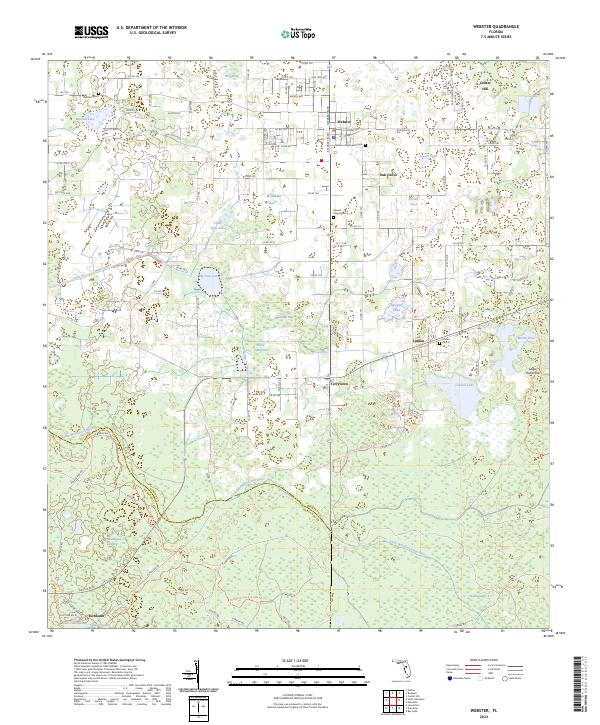
2024 Map of Webster
USGS Topo · Published 2024About this map
Webster and Center Hill anchor this rural landscape in Sumter County, where the transition from agricultural tracts to significant wetlands is clearly defined. The area is marked by a legacy of family and community burial grounds, including the Garden of Memories Cem and Stewart Chapel Cem, which sit near the crossroads of Oak Grove. Further south, the map reveals the low-lying reaches of the Withlacoochee State Forest, where the Little Withlacoochee River meanders through dense terrain like Indianhouse Swamp and Yankee Swamp.
Find a feature on this map
77 named features on this map. Tap any name to fly to it.
Don’t see what you’re looking for? This feature index may not catch every label — zoom into the map to look around manually.
Map Details
Editions of this 2024 Webster Map
This is the sole edition of this map. No revisions or reprints were ever made.
Other maps of this area

1955 · Plant City
USGS Topo · 1:250,000

1955 · Orlando
USGS Topo · 1:250,000

1957 · Orlando
USGS Topo · 1:250,000

1958 · Orlando
USGS Topo · 1:250,000

1958 · Plant City
USGS Topo · 1:250,000

1958 · Webster
USGS Topo · 1:24,000

1958 · Bushnell
USGS Topo · 1:24,000

1958 · Wahoo
USGS Topo · 1:24,000

1958 · Saint Catherine
USGS Topo · 1:24,000

1959 · Plant City
USGS Topo · 1:250,000