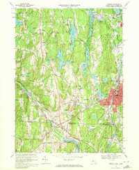
1969 Map of Webster
USGS Topo · Published 1972About this map
Webster and the industrial corridors of the French River and Quinebaug River anchor this 1960s-era survey at the Massachusetts-Connecticut border. The landscape reflects a legacy of mill-town development, visible in the dense clusters at North Village, Chaseville, and Perryville. These communities grew around the water power of the local river systems, which by this time had been heavily managed with features like the Buffumville Reservoir and Granite Reservoir.
Find a feature on this map
81 named features on this map. Tap any name to fly to it.
Don’t see what you’re looking for? This feature index may not catch every label — zoom into the map to look around manually.
Map Details
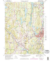
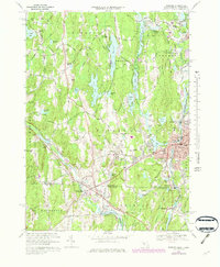
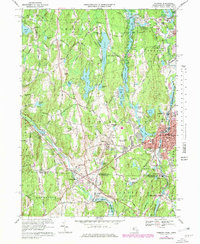
Editions of this 1969 Webster Map
4 editions found
Other maps of this area

1887 · Brookfield
USGS Topo · 1:62,500

1889 · Webster
USGS Topo · 1:62,500

1889 · Putnam
USGS Topo · 1:62,500

1890 · Brookfield
USGS Topo · 1:62,500

1892 · Woodstock
USGS Topo · 1:62,500

1892 · Webster
USGS Topo · 1:62,500

1893 · Putnam
USGS Topo · 1:62,500

1893 · Brookfield
USGS Topo · 1:62,500

1908 · Quinsigamond
USGS Topo · 1:125,000

1908 · Ware
USGS Topo · 1:125,000