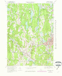
1969 Map of Webster
USGS Topo · Published 1979About this map
Nichols College serves as a prominent landmark in this 1969 survey of the south-central Massachusetts and Connecticut borderlands. The landscape is defined by the industrial and transport corridors of the French River and Quinebaug River, which anchor settlements like Webster, Dudley, and Quinebaug. Significant local history is preserved in numerous family-named landmarks such as Dresser Hill and Dresser Cem, alongside institutional hubs like the Dudley Jr High Sch. The presence of the Providence And Worcester railroad line tracing the valley floor illustrates the area's historical reliance on rail infrastructure for connecting these textile and manufacturing centers. Numerous ponds and reservoirs, including Buffumville Lake and Pierpoint Meadow Pond, dot the terrain, reflecting the region's managed water resources for both industry and recreation during the late 1960s.
Find a feature on this map
81 named features on this map. Tap any name to fly to it.
Don’t see what you’re looking for? This feature index may not catch every label — zoom into the map to look around manually.
Map Details
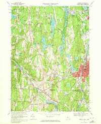
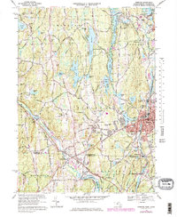
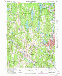
Editions of this 1969 Webster Map
4 editions found
Other maps of this area

1887 · Brookfield
USGS Topo · 1:62,500

1889 · Webster
USGS Topo · 1:62,500

1889 · Putnam
USGS Topo · 1:62,500

1890 · Brookfield
USGS Topo · 1:62,500

1892 · Woodstock
USGS Topo · 1:62,500

1892 · Webster
USGS Topo · 1:62,500

1893 · Putnam
USGS Topo · 1:62,500

1893 · Brookfield
USGS Topo · 1:62,500

1908 · Quinsigamond
USGS Topo · 1:125,000

1908 · Ware
USGS Topo · 1:125,000