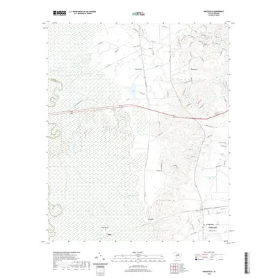
2020 Map of Wedgefield
USGS Topo · Published 2020About this map
General Sumters Tomb stands as a significant historical landmark near Stateburg, marking the burial site of the Revolutionary War hero. The landscape transitions sharply from the elevated terrain of the High Hills of Santee down into the expansive Wateree Swamp. This low-lying drainage system is defined by a complex network of waterways, including the Wateree River, Gum Swamp Br, and numerous isolated bodies of water like Hugricane Lake and Bland Lake.
Find a feature on this map
99 named features on this map. Tap any name to fly to it.
Don’t see what you’re looking for? This feature index may not catch every label — zoom into the map to look around manually.
Map Details
Editions of this 2020 Wedgefield Map
This is the sole edition of this map. No revisions or reprints were ever made.
Other maps of this area

1938 · Hagood
USGS Topo · 1:62,500

1941 · Spartanburg
USGS Topo · 1:250,000

1942 · Camden
USGS Topo · 1:125,000

1943 · Eastover
USGS Topo · 1:62,500

1946 · Sumter
USGS Topo · 1:62,500

1953 · Poinsett State Park
USGS Topo · 1:24,000

1953 · Eastover
USGS Topo · 1:24,000

1953 · Wedgefield
USGS Topo · 1:24,000

1953 · Wateree
USGS Topo · 1:24,000

1953 · Rembert
USGS Topo · 1:24,000