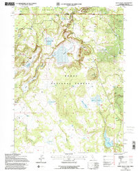
1993 Map of Weed Valley
USGS Topo · Published 1996About this map
The California and Oregon border crosses the northern portion of this survey, where the Fremont National Forest meets the Modoc National Forest. This high-elevation landscape is defined by its water management systems, featuring an extensive network of tanks and reservoirs designed for forest and livestock use. Notable impoundments include the central Weed Valley and named basins such as Baseball Reservoir, Diamond Reservoir, and Jones Reservoir.
Find a feature on this map
36 named features on this map. Tap any name to fly to it.
Don’t see what you’re looking for? This feature index may not catch every label — zoom into the map to look around manually.
Map Details
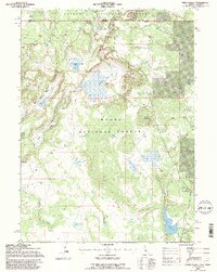
Editions of this 1993 Weed Valley Map
2 editions found
Other maps of this area

1886 · Alturas
USGS Topo · 1:250,000

1892 · Alturas
USGS Topo · 1:250,000

1954 · Alturas
USGS Topo · 1:250,000

1955 · Klamath Falls
USGS Topo · 1:250,000

1958 · Alturas
USGS Topo · 1:250,000

1958 · Klamath Falls
USGS Topo · 1:250,000

1960 · Strawberry Butte
USGS Topo · 1:62,500

1962 · Alturas
USGS Topo · 1:250,000

1962 · Steele Swamp
USGS Topo · 1:62,500

1962 · South Mountain
USGS Topo · 1:62,500