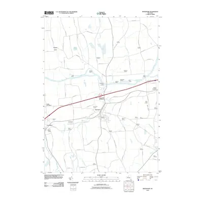
2010 Map of Weedsport
USGS Topo · Published 2010About this map
The Erie Canal corridor defines the landscape of central Cayuga County, where the historic waterway parallels the Seneca River. This 2010 topographic record shows the canal's enduring presence through Port Byron and Weedsport, complete with the Weedsport Canal Terminal and several river islands such as Hickory Island and Frost Island. The settlement pattern follows the gentle rise of the land away from the marshes, marked by several prominent family-named and community cemeteries including Mount Pleasant Cemetery and God's Acre Cemetery.
Find a feature on this map
100 named features on this map. Tap any name to fly to it.
Don’t see what you’re looking for? This feature index may not catch every label — zoom into the map to look around manually.
Map Details
Editions of this 2010 Weedsport Map
This is the sole edition of this map. No revisions or reprints were ever made.
Other maps of this area

1899 · Auburn
USGS Topo · 1:62,500

1899 · Skaneateles
USGS Topo · 1:62,500

1900 · Baldwinsville
USGS Topo · 1:62,500

1902 · Skaneateles
USGS Topo · 1:62,500

1902 · Weedsport
USGS Topo · 1:62,500

1902 · Auburn
USGS Topo · 1:62,500

1943 · Jordan
USGS Topo · 1:31,680

1943 · Lysander
USGS Topo · 1:31,680

1943 · Montezuma
USGS Topo · 1:31,680

1943 · Cayuga
USGS Topo · 1:31,680