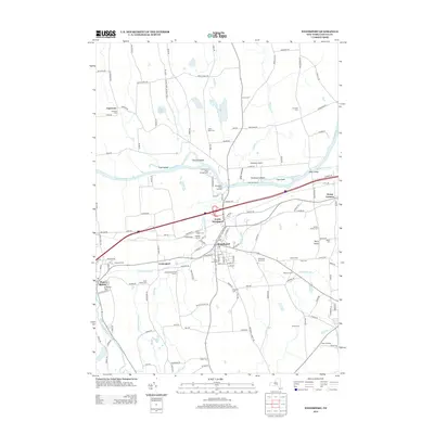
2013 Map of Weedsport
USGS Topo · Published 2013About this map
The Seneca River winds through this central Cayuga County landscape, shaping a complex network of waterways and low-lying islands like Hickory Island and Frost Island. This 2013 survey of the area surrounding Weedsport and Port Byron highlights the intersection of modern transit and historical infrastructure, including the Weedsport Canal Terminal and Withford Marina along the riverfront. The terrain is notably varied, featuring the local elevation at Berry Hump and numerous tributary streams such as Muskrat Cr, Cold Spring Brook, and Putnam Brook.
Find a feature on this map
142 named features on this map. Tap any name to fly to it.
Don’t see what you’re looking for? This feature index may not catch every label — zoom into the map to look around manually.
Map Details
Editions of this 2013 Weedsport Map
This is the sole edition of this map. No revisions or reprints were ever made.
Other maps of this area

1899 · Auburn
USGS Topo · 1:62,500

1899 · Skaneateles
USGS Topo · 1:62,500

1900 · Baldwinsville
USGS Topo · 1:62,500

1902 · Skaneateles
USGS Topo · 1:62,500

1902 · Weedsport
USGS Topo · 1:62,500

1902 · Auburn
USGS Topo · 1:62,500

1943 · Jordan
USGS Topo · 1:31,680

1943 · Lysander
USGS Topo · 1:31,680

1943 · Montezuma
USGS Topo · 1:31,680

1943 · Cayuga
USGS Topo · 1:31,680