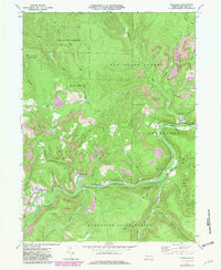
1970 Map of Weedville
USGS Topo · Published 1981About this map
Benezette and Weedville anchor this 1970s landscape within the Elk State Forest, reflecting a mountain economy shaped by the winding Bennett Branch of Sinnemahoning Creek. The map documents a transition in local industry, showing numerous Gas Wells and active Strip Mines alongside the older Old RR Grade and Conrail lines. Local heritage is preserved in the location of the Mt Zion Ch and Gray Cem, while the rugged geography is carved by countless watercourses like Medix Run and Trout Run. The presence of State Game Lands No 34 and Moshanon State Forest indicates the area's enduring character as a managed wilderness, where the legacy of timber and coal extraction meets modern resource management.
Find a feature on this map
41 named features on this map. Tap any name to fly to it.
Don’t see what you’re looking for? This feature index may not catch every label — zoom into the map to look around manually.
Map Details
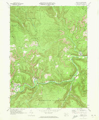
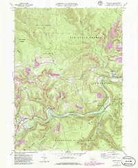
Editions of this 1970 Weedville Map
3 editions found
Other maps of this area

1929 · Clearfield
USGS Topo · 1:48,000

1929 · Penfield
USGS Topo · 1:62,500

1932 · Clearfield
USGS Topo · 1:62,500

1932 · Penfield
USGS Topo · 1:62,500

1941 · Benezette
USGS Topo · 1:62,500

1941 · Ridgway
USGS Topo · 1:62,500

1943 · Benezette
USGS Topo · 1:62,500

1944 · Ridgway
USGS Topo · 1:62,500

1957 · Warren
USGS Topo · 1:250,000

1958 · Warren
USGS Topo · 1:250,000
Featured Places
- Benezette Township, PA
- Jay Township, PA
- Medix Run, Benezette Township
- Caledonia, Jay Township
- Weedville, Jay Township