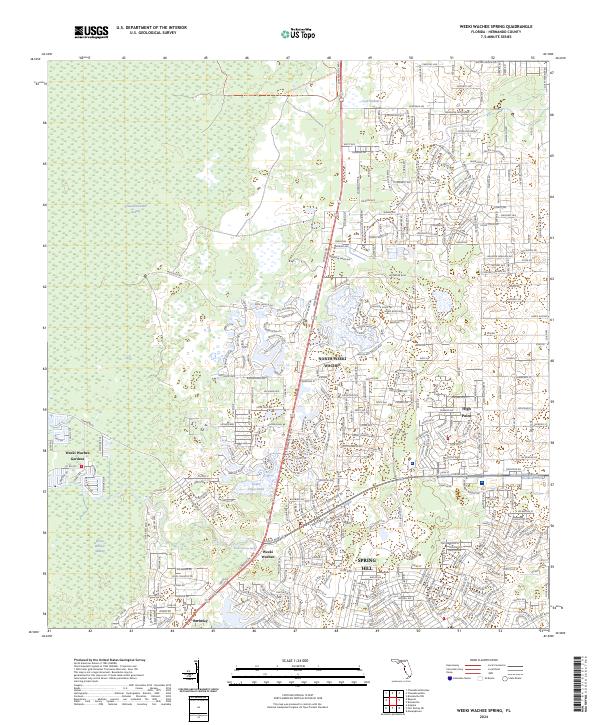
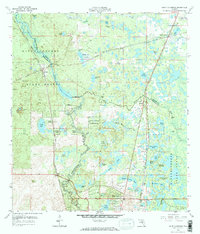
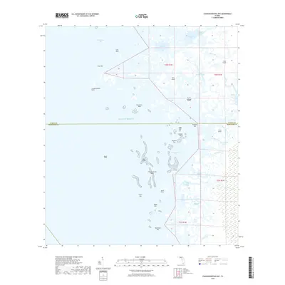
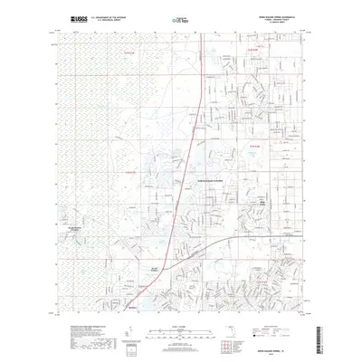
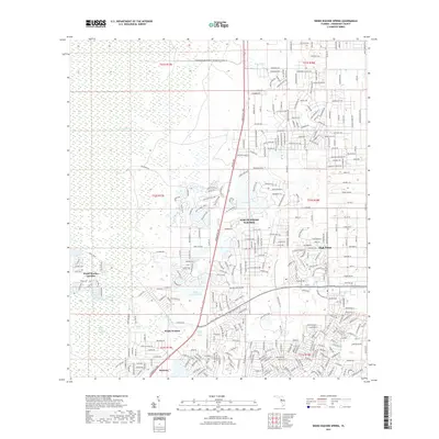
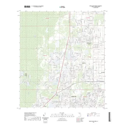
2024 Map of Weeki Wachee Spring
USGS Topo · Published 2024About this map
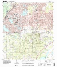
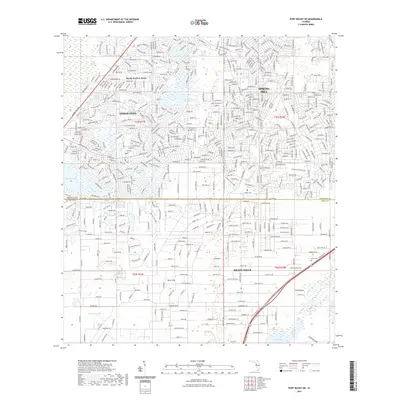
Weeki Wachee Spring serves as the focal point of this coastal Hernando County landscape, where the land transitions from the dense Weeki Wachee Swamp and Chassahowitzka Swamp in the west to rapidly developing residential centers in the east. The 2024 data reveals a detailed network of modern subdivisions and communities, including Spring Hill, High Point, and North Weeki Wachee.
Find a feature on this map
143 named features on this map. Tap any name to fly to it.
Don’t see what you’re looking for? This feature index may not catch every label — zoom into the map to look around manually.
Map Details
Editions of this 2024 Weeki Wachee Spring Map
This is the sole edition of this map. No revisions or reprints were ever made.
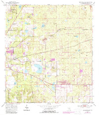
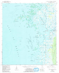
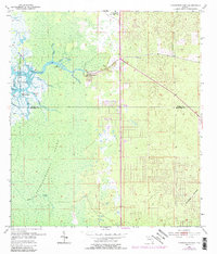
Historical Maps of Weeki Wachee Through Time
40 maps found
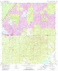
1954 Brooksville SE
Hernando County, FL
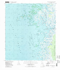
1954 Chassahowitzka Bay
Hernando County, FL
1954 Chassahowitzka
Hernando County, FL
1954 Port Richey Ne
Hernando County, FL
1954 Weeki Wachee Spring
Hernando County, FL
1958 Saint Catherine
Hernando County, FL
1994 Chassahowitzka Bay
Hernando County, FL
1999 Port Richey NE
Hernando County, FL
2012 Brooksville SE
Hernando County, FL
2012 Chassahowitzka Bay
Hernando County, FL
2012 Chassahowitzka
Hernando County, FL
2012 Port Richey NE
Hernando County, FL
2012 Saint Catherine
Hernando County, FL
2012 Weeki Wachee Spring
Hernando County, FL
2015 Brooksville SE
Hernando County, FL
2015 Chassahowitzka Bay
Hernando County, FL

2015 Chassahowitzka
Hernando County, FL
2015 Port Richey NE
Hernando County, FL

2015 Saint Catherine
Hernando County, FL

2015 Weeki Wachee Spring
Hernando County, FL
2018 Brooksville SE
Hernando County, FL
2018 Chassahowitzka Bay
Hernando County, FL
2018 Chassahowitzka
Hernando County, FL
2018 Port Richey NE
Hernando County, FL

2018 Saint Catherine
Hernando County, FL
2018 Weeki Wachee Spring
Hernando County, FL
2021 Brooksville SE
Hernando County, FL
2021 Chassahowitzka Bay
Hernando County, FL
2021 Chassahowitzka
Hernando County, FL
2021 Port Richey NE
Hernando County, FL
2021 Saint Catherine
Hernando County, FL
2021 Weeki Wachee Spring
Hernando County, FL
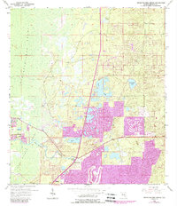
2023 Weeki Wachee Spring
Hernando County, FL
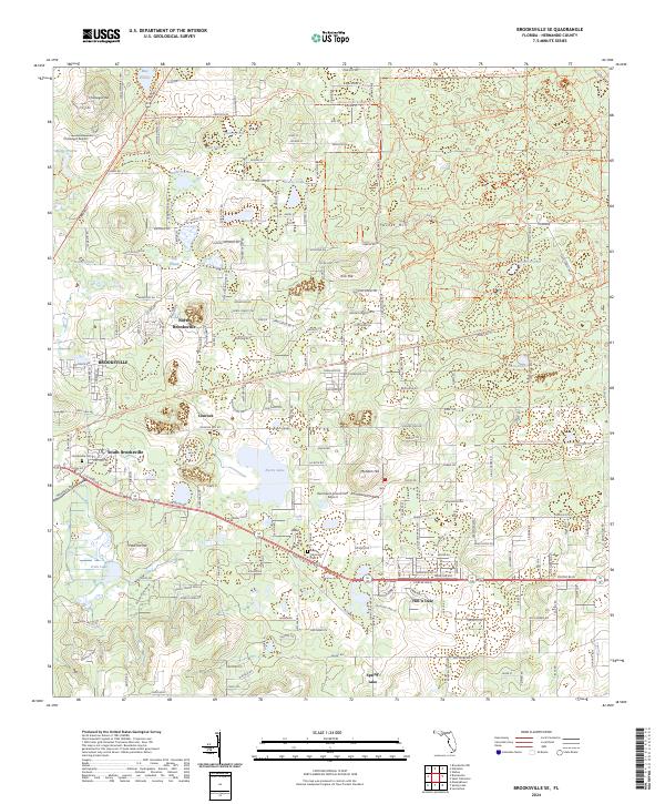
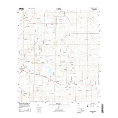
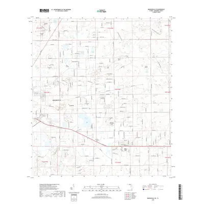
2024 Brooksville SE
Hernando County, FL
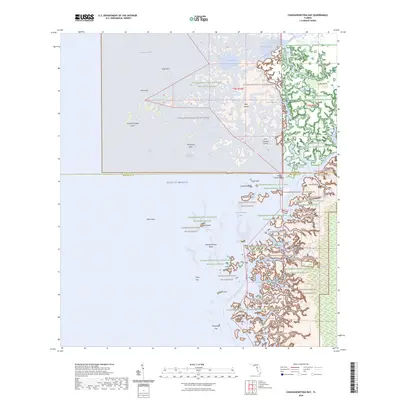
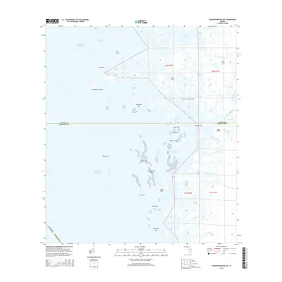
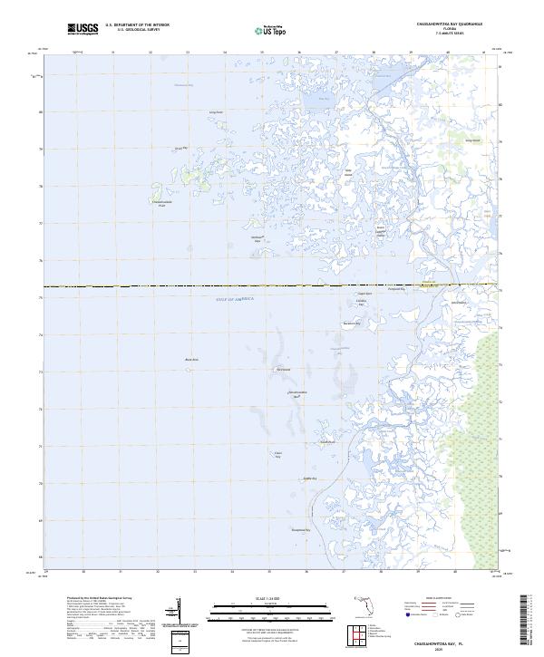
2024 Chassahowitzka Bay
Hernando County, FL
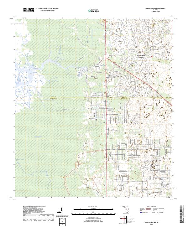
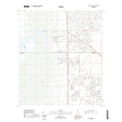
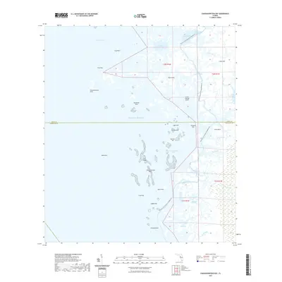
2024 Chassahowitzka
Hernando County, FL
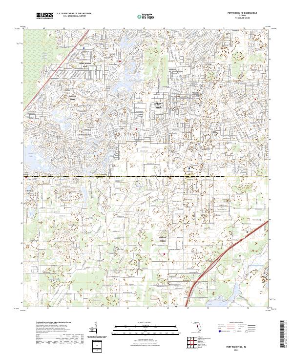
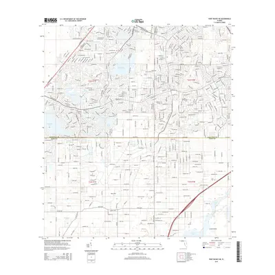
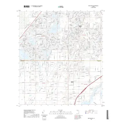
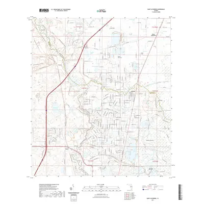
2024 Port Richey NE
Hernando County, FL
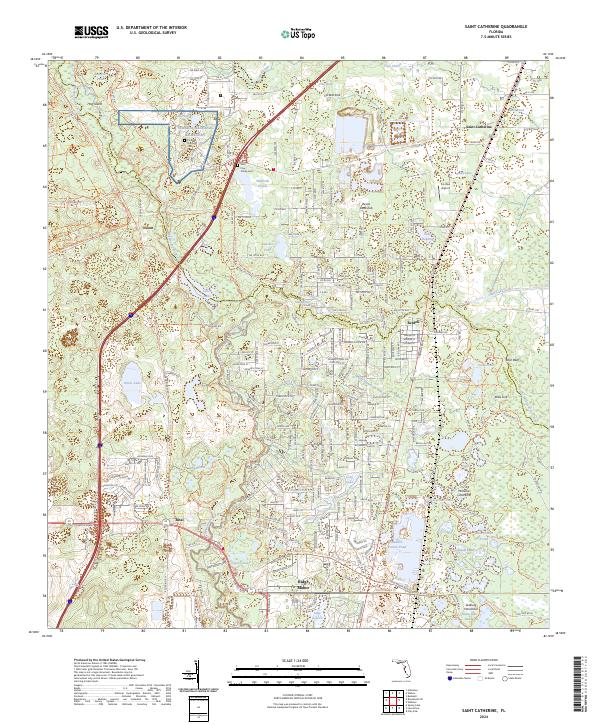
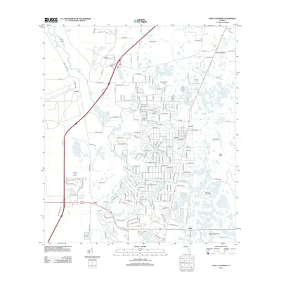
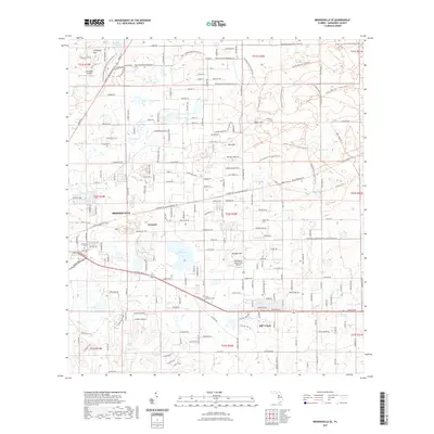
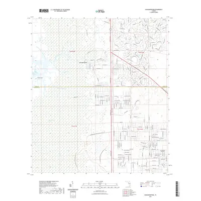
2024 Saint Catherine
Hernando County, FL
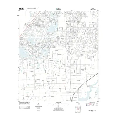
2024 Weeki Wachee Spring
Hernando County, FL
2025 Chassahowitzka Bay
Hernando County, FL