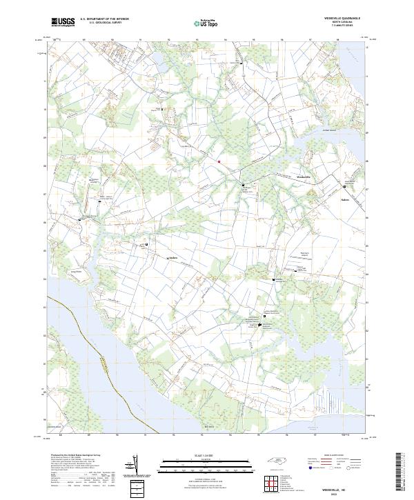
2022 Map of Weeksville
USGS Topo · Published 2022About this map
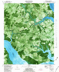
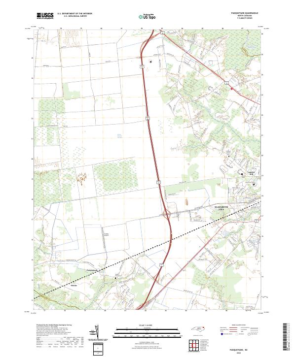
The Pasquotank River and Albemarle Sound define the watery boundaries of this coastal landscape, where the settlements of Weeksville and Salem sit among a dense network of family cemeteries and church plots. This region is characterized by its intricate tidal creeks, such as Newbegun Creek and Big Flatty Creek, which carve into the low-lying terrain. The map reveals a deep genealogical record, preserving the locations of private burial sites like the Meads-Jackson Cartwright Plot, the John Henry Thomas White Family Cem, and the Benoni Cartwright Family Cem. The presence of the Newbegun Creek Quaker Cem points to the area's early religious heritage. Land use in this corner of Pasquotank County is a mix of small airstrips like Meadstown Airstrip and Fletcher's Airport, alongside the quiet crossroads of Winslow and the prominent landing at Mill Point.
Find a feature on this map
102 named features on this map. Tap any name to fly to it.
Don’t see what you’re looking for? This feature index may not catch every label — zoom into the map to look around manually.
Map Details
Editions of this 2022 Weeksville Map
This is the sole edition of this map. No revisions or reprints were ever made.
Historical Maps of Weeksville Through Time
11 maps found

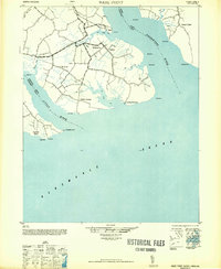
1940 Wade Point
Pasquotank County, NC

1943 Wade Point
Pasquotank County, NC
1948 Wade Point
Pasquotank County, NC
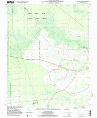
1982 Lynchs Corner
Pasquotank County, NC
1982 Pasquotank
Pasquotank County, NC
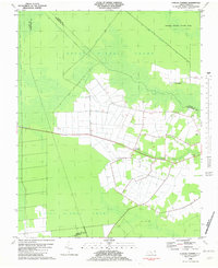
1982 Weeksville
Pasquotank County, NC
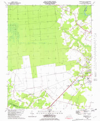
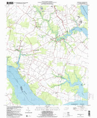
1997 Lynchs Corner
Pasquotank County, NC
1997 Weeksville
Pasquotank County, NC
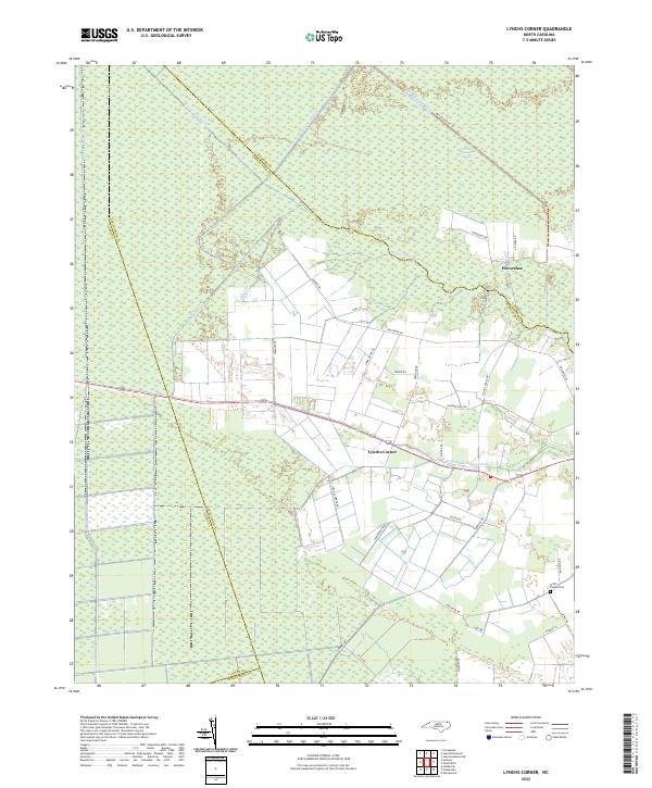
2022 Lynchs Corner
Pasquotank County, NC
2022 Pasquotank
Pasquotank County, NC
2022 Weeksville
Pasquotank County, NC