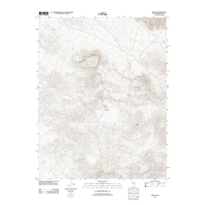
2011 Map of Weepah
USGS Topo · Published 2011About this map
The high-desert terrain of Esmeralda County centers on the legacy of Weepah, a location that famously sparked a short-lived gold rush in the 1920s. This survey records the site as it appeared in the early 21st century, centered on the Weepah Post Office and the surrounding network of desert roads. The topography is dominated by the Weepah Hills, where a complex system of dry washes and canyons drains into the open basins. Grounded by the presence of Barrel Spring to the northwest, the map illustrates the critical importance of water sources in this arid landscape. The path of Weepah Rd provides the primary access through the quadrangle, connecting the central settlement area to the broader desert interior and reflecting the area's continued use by prospectors and modern explorers.
Find a feature on this map
5 named features on this map. Tap any name to fly to it.
Don’t see what you’re looking for? This feature index may not catch every label — zoom into the map to look around manually.
Map Details
Editions of this 2011 Weepah Map
This is the sole edition of this map. No revisions or reprints were ever made.
Other maps of this area

1898 · Silver Peak
USGS Topo · 1:125,000

1900 · Silver Peak
USGS Topo · 1:125,000

1907 · Tonopah
USGS Topo · 1:250,000

1908 · Lida
USGS Topo · 1:250,000

1908 · Tonopah
USGS Topo · 1:250,000

1913 · Lida
USGS Topo · 1:250,000

1945 · Goldfield
USGS Topo · 1:125,000

1954 · Goldfield
USGS Topo · 1:250,000

1955 · Goldfield
USGS Topo · 1:250,000

1956 · Tonopah
USGS Topo · 1:250,000