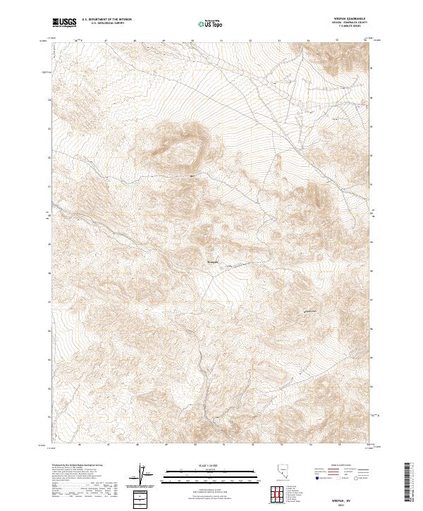
2021 Map of Weepah
USGS Topo · Published 2021About this map
The high desert terrain of the Weepah Hills dominates this 2021 survey of central Esmeralda County. Centered on the settlement of Weepah, the map documents a landscape defined by sharp elevation changes and arid drainage patterns typical of the Great Basin. Access to this isolated area is primarily via Weepah Rd, which winds through the hills toward the northern reaches of the Big Smoky Valley. A rare water source, Barrel Spring, is noted in the northwestern sector of the quadrangle, highlighting the vital locations that supported early movement through these hills. This contemporary look at the township boundaries of T1N, T2N, and T1S R39E-R40E provides a clear record of the topographic features and modern road alignments in a region historically known for its mining activity.
Find a feature on this map
11 named features on this map. Tap any name to fly to it.
Don’t see what you’re looking for? This feature index may not catch every label — zoom into the map to look around manually.
Map Details
Editions of this 2021 Weepah Map
This is the sole edition of this map. No revisions or reprints were ever made.
Other maps of this area

1898 · Silver Peak
USGS Topo · 1:125,000

1900 · Silver Peak
USGS Topo · 1:125,000

1907 · Tonopah
USGS Topo · 1:250,000

1908 · Lida
USGS Topo · 1:250,000

1908 · Tonopah
USGS Topo · 1:250,000

1913 · Lida
USGS Topo · 1:250,000

1945 · Goldfield
USGS Topo · 1:125,000

1954 · Goldfield
USGS Topo · 1:250,000

1955 · Goldfield
USGS Topo · 1:250,000

1956 · Tonopah
USGS Topo · 1:250,000