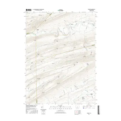
2016 Map of Weikert
USGS Topo · Published 2016About this map
Penns Creek carves a winding path through this central Pennsylvania landscape, anchoring the small settlements of Weikert and Pardee. This territory is defined by the sharp ridges and narrow valleys of the Appalachian Mountains, where the high point at Jacks Mountain Hightop overlooks a complex network of mountain gaps and hollows. The transition between New Lancaster Valley and the surrounding heights is marked by Numerous geological features like Hoofnagle Gap, Kreb Gap, and the sharp turn at Devils Elbow.
Find a feature on this map
107 named features on this map. Tap any name to fly to it.
Don’t see what you’re looking for? This feature index may not catch every label — zoom into the map to look around manually.
Map Details
Editions of this 2016 Weikert Map
This is the sole edition of this map. No revisions or reprints were ever made.
Other maps of this area

1907 · Millerstown
USGS Topo · 1:62,500

1925 · Mifflintown
USGS Topo · 1:48,000

1934 · Mifflintown
USGS Topo · 1:62,500

1937 · Mifflintown
USGS Topo · 1:62,500

1937 · Millheim
USGS Topo · 1:48,000

1938 · Mifflinburg
USGS Topo · 1:48,000

1941 · Millheim
USGS Topo · 1:62,500

1943 · Millerstown
USGS Topo · 1:62,500

1943 · Mifflinburg
USGS Topo · 1:62,500

1950 · Harrisburg
USGS Topo · 1:250,000
Featured Places
- Decatur Township, PA
- Hartley Township, PA
- Spring Township, PA
- Armagh Township, PA
- West Beaver Township, PA