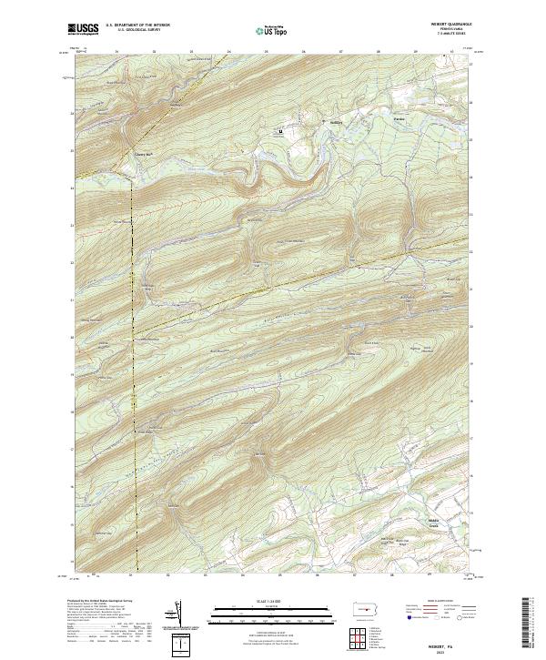
2023 Map of Weikert
USGS Topo · Published 2023About this map
Bald Eagle State Forest dominates this landscape where Snyder, Union, Mifflin, and Centre Counties meet. The small settlement of Weikert and the nearby Hironimus Union Cem represent the heart of this valley community along Penns Creek. The terrain is defined by a dense series of parallel ridges and gaps, including Jacks Mountain, Paddy Mountain, and White Mountain, which create isolated valleys such as New Lancaster Valley. This topography shaped early transit and settlement, funneling movement through passage points like Hoofnagle Gap and Bull Hollow Gap. A complex network of forestry roads and trails, including the Mid State Trl and various Snowmobile Trails, traces the high ground of Buck Mountain and Penns Creek Mountain, reflecting the area's modern role in timber management and conservation.
Find a feature on this map
111 named features on this map. Tap any name to fly to it.
Don’t see what you’re looking for? This feature index may not catch every label — zoom into the map to look around manually.
Map Details
Editions of this 2023 Weikert Map
This is the sole edition of this map. No revisions or reprints were ever made.
Other maps of this area

1907 · Millerstown
USGS Topo · 1:62,500

1925 · Mifflintown
USGS Topo · 1:48,000

1934 · Mifflintown
USGS Topo · 1:62,500

1937 · Mifflintown
USGS Topo · 1:62,500

1937 · Millheim
USGS Topo · 1:48,000

1938 · Mifflinburg
USGS Topo · 1:48,000

1941 · Millheim
USGS Topo · 1:62,500

1943 · Millerstown
USGS Topo · 1:62,500

1943 · Mifflinburg
USGS Topo · 1:62,500

1950 · Harrisburg
USGS Topo · 1:250,000
Featured Places
- Decatur Township, PA
- Hartley Township, PA
- West Beaver Township, PA
- Haines Township, PA
- Middle Creek, Spring Township