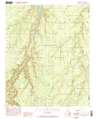
1990 Map of Weimer Point
USGS Topo · Published 1991About this map
Sitgreaves National Forest dominates this high-country landscape, where the deeply incised Chevelon Canyon and Chevelon Creek serve as the primary hydrologic features. The terrain is characterized by a series of prominent ridges and drainages, including Telephone Ridge and Larson Ridge, which segment the forested plateau. At the northern end of this corridor, Chevelon Canyon Lake provides a significant water catchment in an otherwise arid region of Coconino County.
Find a feature on this map
53 named features on this map. Tap any name to fly to it.
Don’t see what you’re looking for? This feature index may not catch every label — zoom into the map to look around manually.
Map Details
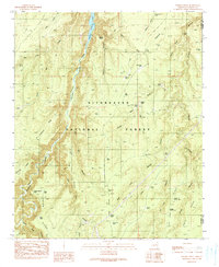
Editions of this 1990 Weimer Point Map
2 editions found
Other maps of this area

1886 · Holbrook
USGS Topo · 1:250,000

1893 · Holbrook
USGS Topo · 1:250,000

1954 · Holbrook
USGS Topo · 1:250,000

1957 · Holbrook
USGS Topo · 1:250,000

1958 · Holbrook
USGS Topo · 1:250,000

1960 · Holbrook
USGS Topo · 1:250,000

1961 · Woods Canyon
USGS Topo · 1:62,500

1961 · Heber
USGS Topo · 1:62,500
1965 · Grama Draw
USGS Topo · 1:24,000

1965 · Chevelon Crossing
USGS Topo · 1:24,000