Loading...
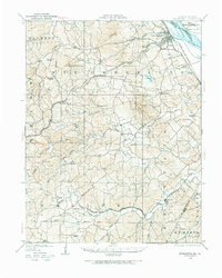
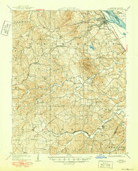
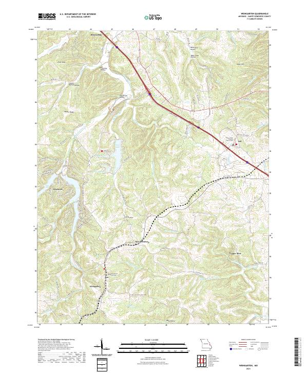
Loading map...1907 Map of Weingarten
USGS Topo · Published 1969About this map
Ste Genevieve anchors this 1907 survey of the Missouri shoreline, where the Mississippi River separates the mainland from Moro Island. The landscape is defined by an intricate network of waterways like River aux Vases and Saline Creek that cut through the Beckett Hills, providing the geographical framework for early German and French-inflected settlements. The industrial footprint of the era is evident in the presence of a Copper Mine and the active rail lines of the St Louis and San Francisco RR and the Southern RR.
Find a feature on this map
66 named features on this map. Tap any name to fly to it.
Don’t see what you’re looking for? This feature index may not catch every label — zoom into the map to look around manually.
Map Details
Date Portrayed1907
Date Published1969
PublisherU.S. Geological Survey
Map TypeTopographic
Scale1:62,500
Physical Dimensions17.5 x 21.9 inches
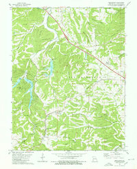
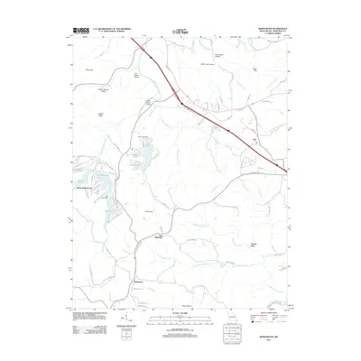
Editions of this 1907 Weingarten Map
2 editions found

Historical Maps of Sainte Genevieve Through Time
7 maps found
Featured Locations
Source Details
SourceU.S. Geological Survey
CopyrightPublic Domain