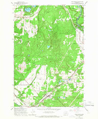
1959 Map of Weir Prairie
USGS Topo · Published 1966About this map
The Fort Lewis Military Reservation dominates this landscape in the late 1950s, showing a transition from the wooded training grounds of the north to the more open Weir Prairie in the south. The area is defined by its water and industrial infrastructure, notably the Centralia Canal which feeds a Powerplant via a series of Penstocks near the Nisqually River. To the west, the Deschutes River snakes through the corner of the map near a local Grange Hall and the Collins Sch.
Find a feature on this map
46 named features on this map. Tap any name to fly to it.
Don’t see what you’re looking for? This feature index may not catch every label — zoom into the map to look around manually.
Map Details
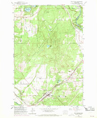
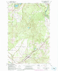
Editions of this 1959 Weir Prairie Map
3 editions found
Other maps of this area

1916 · Chehalis
USGS Topo · 1:125,000

1937 · Olympia
USGS Topo · 1:62,500

1940 · Tenino
USGS Topo · 1:62,500

1940 · Anderson Island
USGS Topo · 1:62,500

1944 · Tenino
USGS Topo · 1:62,500

1944 · Yelm
USGS Topo · 1:62,500

1948 · Anderson Island
USGS Topo · 1:62,500

1948 · Fort Lewis
USGS Topo · 1:24,000

1948 · Nisqually
USGS Topo · 1:24,000

1949 · Yelm
USGS Topo · 1:62,500