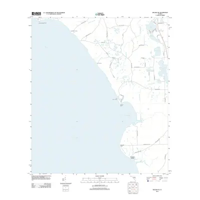
2012 Map of Welaka SE
USGS Topo · Published 2012About this map
Lake George dominates the western half of this Florida coastal landscape, its eastern shore punctuated by a series of landings that reflect the region's historic reliance on water access. Points such as Lake George Point, Willow Point, and Ninemile Point jut into the freshwater, while several small tributaries like Jumping Gully Br and Price Cr drain the low-lying interior. The inland terrain is characterized by a high concentration of small lakes and ponds, including Silver Pond, Davis Lake, and the connected Upper Lake Louise and Lower Lake Louise.
Find a feature on this map
51 named features on this map. Tap any name to fly to it.
Don’t see what you’re looking for? This feature index may not catch every label — zoom into the map to look around manually.
Map Details
Editions of this 2012 Welaka SE Map
This is the sole edition of this map. No revisions or reprints were ever made.
Other maps of this area

1954 · Daytona Beach
USGS Topo · 1:250,000

1958 · Daytona Beach
USGS Topo · 1:250,000

1964 · Daytona Beach
USGS Topo · 1:250,000

1970 · Crescent City
USGS Topo · 1:24,000

1970 · Welaka SE
USGS Topo · 1:24,000

1970 · Welaka
USGS Topo · 1:24,000

1970 · Seville
USGS Topo · 1:24,000

1970 · Salt Springs
USGS Topo · 1:24,000

1970 · Pierson
USGS Topo · 1:24,000

1972 · Juniper Springs
USGS Topo · 1:24,000