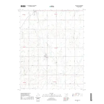
2019 Map of Welch South
USGS Topo · Published 2019About this map
Welch and Bluejacket anchor this portion of Craig County, Oklahoma, where the prairie landscape is defined by a grid of section roads and the corridor of the BNSF Railway. This rail line runs north-south, roughly parallel to the winding course of Little Cabin Creek, which serves as the primary drainage for the area. The map reveals a rural community structured around agriculture and small-town centers, with the town of Bluejacket featuring a detailed street grid including NE Main St and SE 3rd St.
Find a feature on this map
41 named features on this map. Tap any name to fly to it.
Don’t see what you’re looking for? This feature index may not catch every label — zoom into the map to look around manually.
Map Details
Editions of this 2019 Welch South Map
This is the sole edition of this map. No revisions or reprints were ever made.
Other maps of this area
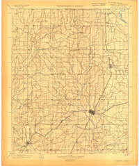
1901 · Vinita
USGS Topo · 1:125,000
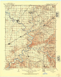
1907 · Wyandotte
USGS Topo · 1:125,000
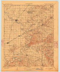
1909 · Wyandotte
USGS Topo · 1:125,000
1913 · Vinita
USGS Topo · 1:125,000

1954 · Tulsa
USGS Topo · 1:250,000
1958 · Tulsa
USGS Topo · 1:250,000
1961 · Miami NW
USGS Topo · 1:24,000
1961 · Miami SW
USGS Topo · 1:24,000
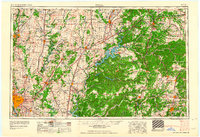
1963 · Tulsa
USGS Topo · 1:250,000
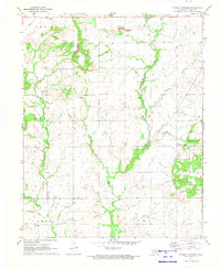
1971 · Pyramid Corners
USGS Topo · 1:24,000