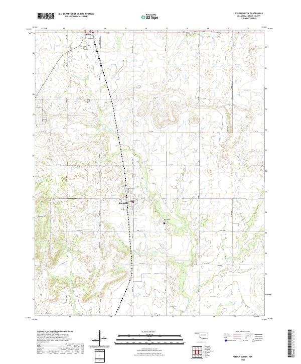
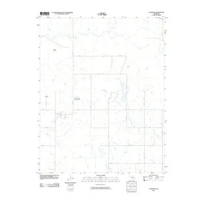
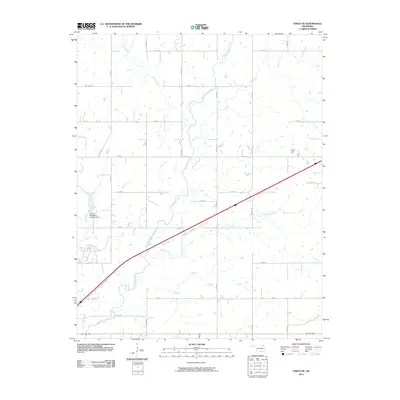
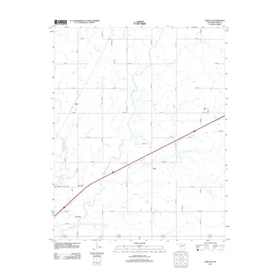
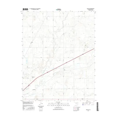
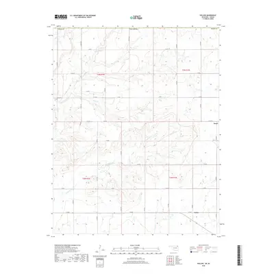
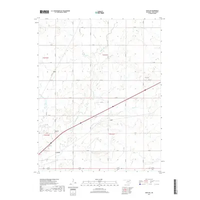
2022 Map of Welch South
USGS Topo · Published 2022About this map
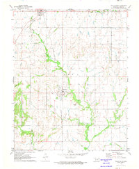
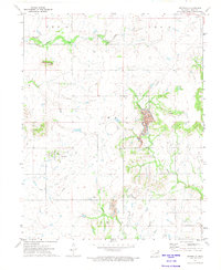
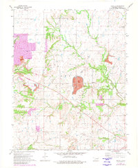
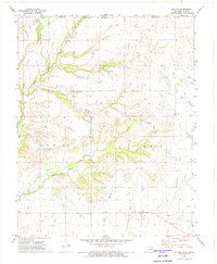
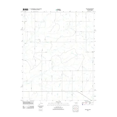
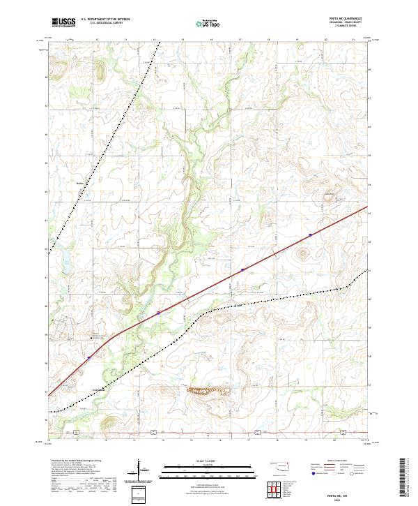
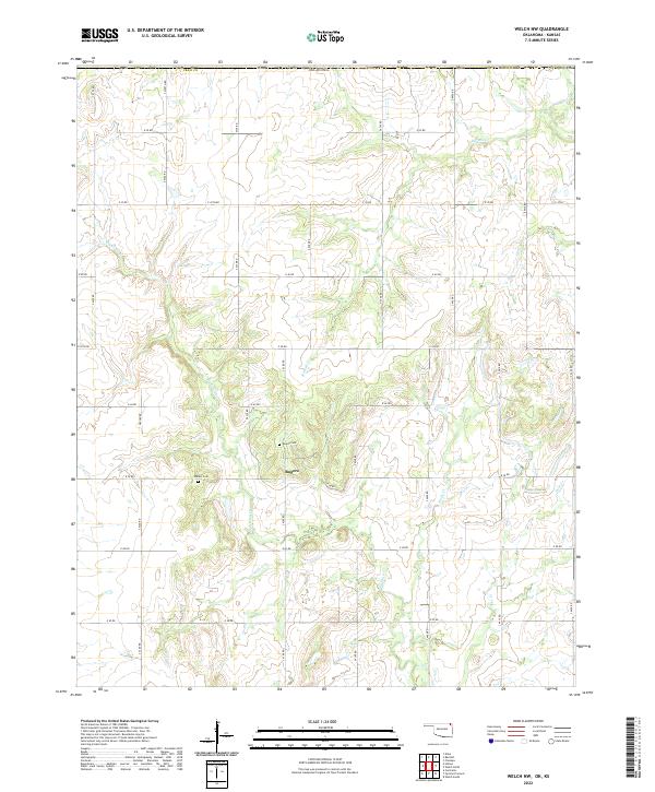
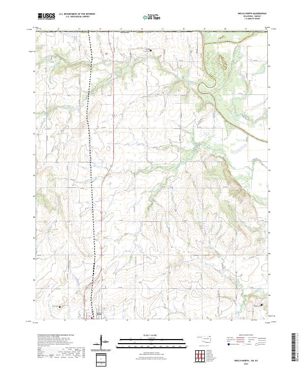
Welch and Bluejacket anchor this rural section of Craig County, Oklahoma, where the landscape is defined by the headwaters of numerous small waterways. The Union Pacific Railroad cuts through the western portion of the terrain, running parallel to the primary north-south road network that connects these agricultural communities. The topography is marked by several named drainage systems, including Little Cabin Cr, Wolf Cr, and the colorfully named Whiskey Br and Possum Br, which carve shallow valleys through the prairie.
Find a feature on this map
44 named features on this map. Tap any name to fly to it.
Don’t see what you’re looking for? This feature index may not catch every label — zoom into the map to look around manually.
Map Details
Editions of this 2022 Welch South Map
This is the sole edition of this map. No revisions or reprints were ever made.
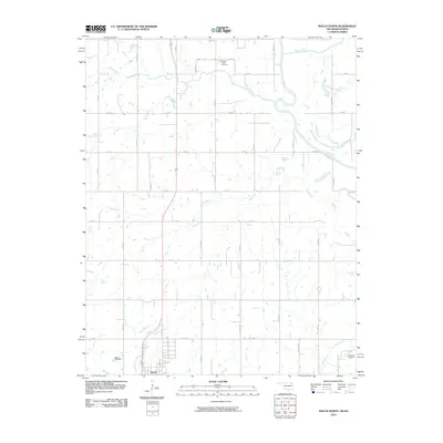
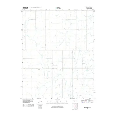
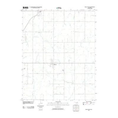
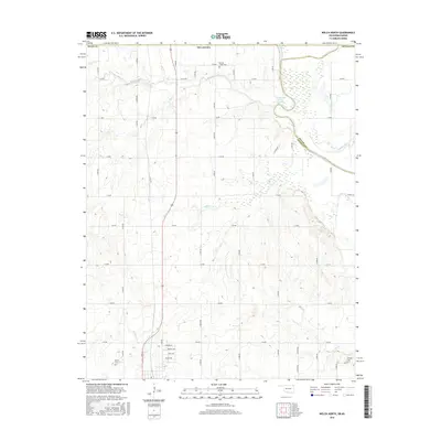
Historical Maps of Welch Through Time
48 maps found
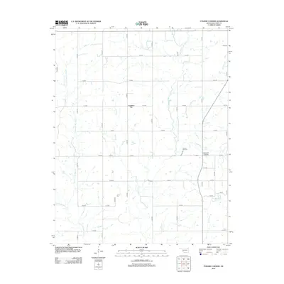
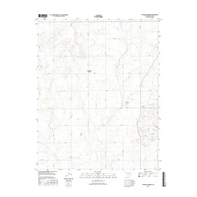
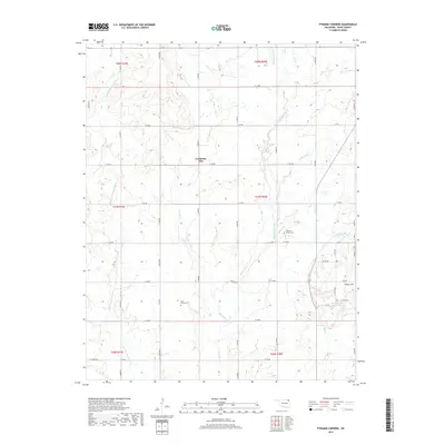
1971 Pyramid Corners
Craig County, OK

1971 Vinita NE
Craig County, OK
1971 Welch North
Craig County, OK
1971 Welch NW
Craig County, OK
1971 Welch South
Craig County, OK
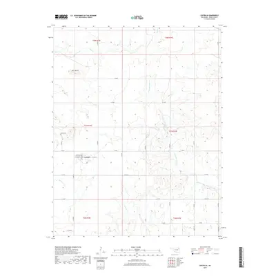
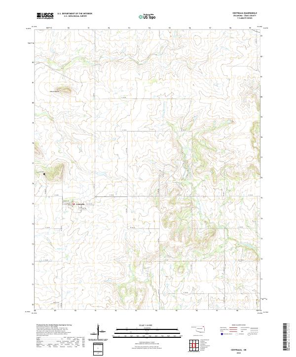
1972 Centralia
Craig County, OK
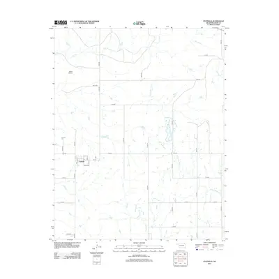
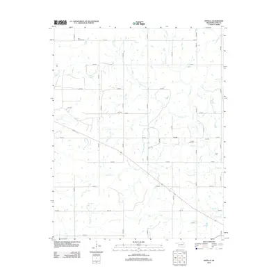
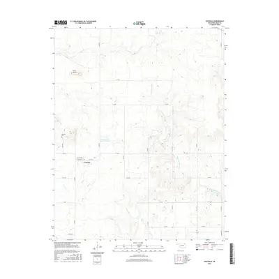
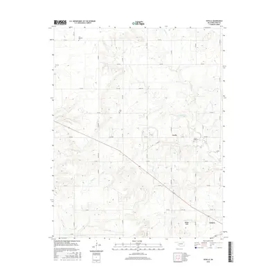
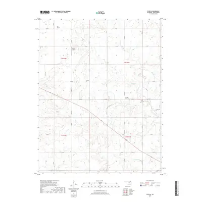
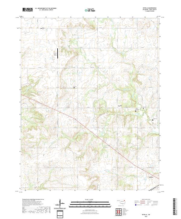
1972 Estella
Craig County, OK
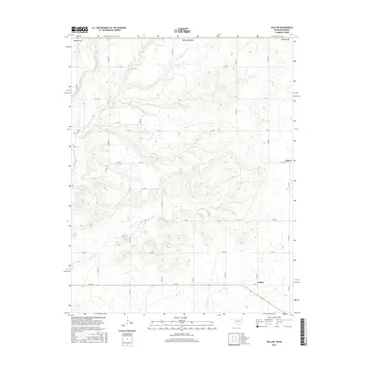
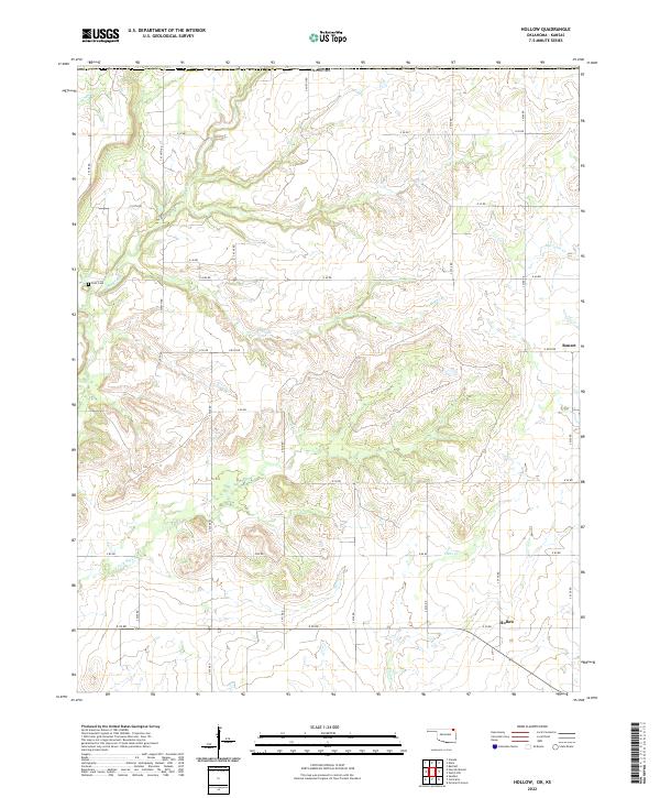
1972 Hollow
Craig County, OK
2010 Centralia
Craig County, OK
2010 Estella
Craig County, OK
2010 Hollow
Craig County, OK
2010 Pyramid Corners
Craig County, OK
2010 Vinita NE
Craig County, OK
2010 Welch North
Craig County, OK
2010 Welch NW
Craig County, OK
2010 Welch South
Craig County, OK
2012 Centralia
Craig County, OK
2012 Estella
Craig County, OK
2012 Hollow
Craig County, OK
2012 Pyramid Corners
Craig County, OK
2012 Vinita NE
Craig County, OK
2012 Welch North
Craig County, OK
2012 Welch NW
Craig County, OK
2012 Welch South
Craig County, OK
2016 Centralia
Craig County, OK
2016 Estella
Craig County, OK
2016 Hollow
Craig County, OK
2016 Pyramid Corners
Craig County, OK
2016 Vinita NE
Craig County, OK
2016 Welch North
Craig County, OK
2016 Welch NW
Craig County, OK
2016 Welch South
Craig County, OK
2018 Hollow
Craig County, OK
2019 Centralia
Craig County, OK
2019 Estella
Craig County, OK
2019 Pyramid Corners
Craig County, OK
2019 Vinita NE
Craig County, OK
2019 Welch North
Craig County, OK
2019 Welch NW
Craig County, OK
2019 Welch South
Craig County, OK
2022 Centralia
Craig County, OK
2022 Estella
Craig County, OK
2022 Hollow
Craig County, OK
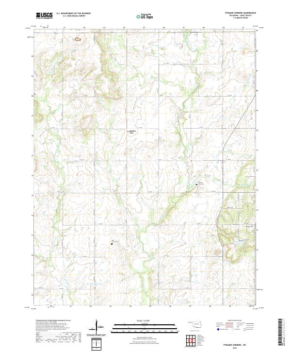
2022 Pyramid Corners
Craig County, OK
2022 Vinita NE
Craig County, OK
2022 Welch NW
Craig County, OK
2022 Welch South
Craig County, OK
2023 Welch North
Craig County, OK