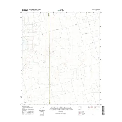
2016 Map of Welch SW
USGS Topo · Published 2016About this map
The High Plains landscape of West Texas is defined here by a network of rural routes and the presence of Cedar Lake along the western edge. This 2016 survey documents the precise boundary line between Gaines Co and Dawson Co, cutting vertically through a region characterized by geometric land divisions and sparse settlement. The infrastructure is primarily composed of ranching and farm-to-market roads, including Ranch Rd 1066 and FM Rd 1066, which facilitate movement across the agricultural and ranching tracts. Dozens of county roads, such as Co Rd 151 and Co Rd 114, provide a dense grid for local property access, illustrating the systematic development of this semi-arid terrain in the early 21st century.
Find a feature on this map
21 named features on this map. Tap any name to fly to it.
Don’t see what you’re looking for? This feature index may not catch every label — zoom into the map to look around manually.
Map Details
Editions of this 2016 Welch SW Map
This is the sole edition of this map. No revisions or reprints were ever made.
Other maps of this area

1954 · Hobbs
USGS Topo · 1:250,000

1958 · Hobbs
USGS Topo · 1:250,000

1969 · Welch East
USGS Topo · 1:24,000

1969 · Ashmore
USGS Topo · 1:24,000

1969 · Welch SW
USGS Topo · 1:24,000

1969 · Punkin Center
USGS Topo · 1:24,000
1969 · Welch West
USGS Topo · 1:24,000

1970 · Sand
USGS Topo · 1:24,000

1970 · McKenzie Lake
USGS Topo · 1:24,000
1970 · Cedar Point
USGS Topo · 1:24,000