
1969 Map of Welch SW
USGS Topo · Published 1971About this map
Industrial infrastructure and the high plains terrain of the South Plains dominate this survey of the Gaines Co Dawson Co boundary. The Cedar Lake Oil Field defines much of the northwestern portion of the map, where a dense network of unimproved roads connects a multitude of extraction sites including the Gas Well and numerous Oil Wells. On the western edge, the brine-crusted basin of Cedar Lake provides a stark contrast to the surrounding agricultural and industrial landscape. The mapping reveals a land heavily utilized for resources during the late 1960s, evidenced by the proliferation of Drill Holes and a Substation serving the local energy grid. Small pockets of scrub or woodland dot the interior, though the primary focus of human activity remains the extraction of fossil fuels and the management of regional water resources in this arid environment.
Find a feature on this map
10 named features on this map. Tap any name to fly to it.
Don’t see what you’re looking for? This feature index may not catch every label — zoom into the map to look around manually.
Map Details
Editions of this 1969 Welch SW Map
This is the sole edition of this map. No revisions or reprints were ever made.
Other maps of this area

1954 · Hobbs
USGS Topo · 1:250,000

1958 · Hobbs
USGS Topo · 1:250,000

1969 · Welch East
USGS Topo · 1:24,000

1969 · Ashmore
USGS Topo · 1:24,000

1969 · Punkin Center
USGS Topo · 1:24,000
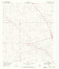
1969 · Welch West
USGS Topo · 1:24,000

1970 · Sand
USGS Topo · 1:24,000

1970 · McKenzie Lake
USGS Topo · 1:24,000
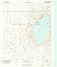
1970 · Cedar Point
USGS Topo · 1:24,000
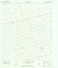
1970 · Patricia NE
USGS Topo · 1:24,000