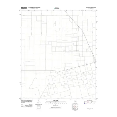
2010 Map of Welch West
USGS Topo · Published 2010About this map
Agricultural and industrial patterns dominate this West Texas landscape, defined by a rigid grid of rural infrastructure. The small settlement of Welch sits along the eastern boundary, serving as a focal point for the surrounding plains. The local economy is visibly driven by energy extraction, most notably at the Welch Oil Field which occupies the southern portion of the quadrangle. A dense network of county routes, including Co Rd 670, Co RD 521, and Co Rd 531, provides access to both the oil infrastructure and the wide agricultural tracts that comprise the majority of the terrain. The layout reflects a 21st-century continuation of the region's historical reliance on land and mineral resources, with section lines and well sites dictating the movement and settlement patterns in this part of Dawson County.
Find a feature on this map
13 named features on this map. Tap any name to fly to it.
Don’t see what you’re looking for? This feature index may not catch every label — zoom into the map to look around manually.
Map Details
Editions of this 2010 Welch West Map
This is the sole edition of this map. No revisions or reprints were ever made.
Other maps of this area

1954 · Hobbs
USGS Topo · 1:250,000

1954 · Brownfield
USGS Topo · 1:250,000

1958 · Brownfield
USGS Topo · 1:250,000

1958 · Hobbs
USGS Topo · 1:250,000

1962 · Brownfield
USGS Topo · 1:250,000

1969 · Foster
USGS Topo · 1:24,000

1969 · Welch East
USGS Topo · 1:24,000

1969 · Ashmore
USGS Topo · 1:24,000

1969 · New Moore
USGS Topo · 1:24,000

1969 · Welch SW
USGS Topo · 1:24,000