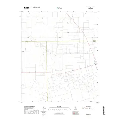
2019 Map of Welch West
USGS Topo · Published 2019About this map
Sulphur Springs Draw winds through the high plains of the Llano Estacado, cutting a natural path through a landscape otherwise defined by a rigid grid of agricultural roads. This area marks the intersection of three counties, with boundaries for Terry County, Gaines County, and Dawson County all meeting in this quadrangle. The small community of Welch sits on the eastern edge of the map, serving as a local hub where Ranch Road 829 and Hickory street meet.
Find a feature on this map
29 named features on this map. Tap any name to fly to it.
Don’t see what you’re looking for? This feature index may not catch every label — zoom into the map to look around manually.
Map Details
Editions of this 2019 Welch West Map
This is the sole edition of this map. No revisions or reprints were ever made.
Other maps of this area

1954 · Hobbs
USGS Topo · 1:250,000

1954 · Brownfield
USGS Topo · 1:250,000

1958 · Brownfield
USGS Topo · 1:250,000

1958 · Hobbs
USGS Topo · 1:250,000

1962 · Brownfield
USGS Topo · 1:250,000

1969 · Foster
USGS Topo · 1:24,000

1969 · Welch East
USGS Topo · 1:24,000

1969 · Ashmore
USGS Topo · 1:24,000

1969 · New Moore
USGS Topo · 1:24,000

1969 · Welch SW
USGS Topo · 1:24,000