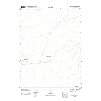
2012 Map of Welches Canyon
USGS Topo · Published 2012About this map
The Tuscarora Mountains dominate this high-desert portion of Eureka County, Nevada, providing a stark backdrop to the drainage systems that define the area's hydrology. The prominent Richmond Summit stands as a central topographic marker, overseeing the descent into the namesake Welches Canyon to the west. This 2012 survey illustrates a landscape primarily shaped by seasonal watercourses like Welches Creek, Soap Creek, and James Creek, which flow through the arid basins toward larger sinks beyond the map's edge.
Find a feature on this map
8 named features on this map. Tap any name to fly to it.
Don’t see what you’re looking for? This feature index may not catch every label — zoom into the map to look around manually.
Map Details
Editions of this 2012 Welches Canyon Map
This is the sole edition of this map. No revisions or reprints were ever made.
Other maps of this area

1952 · Carlin
USGS Topo · 1:62,500

1955 · Winnemucca
USGS Topo · 1:250,000

1957 · Beowawe
USGS Topo · 1:62,500

1958 · Winnemucca
USGS Topo · 1:250,000

1962 · Winnemucca
USGS Topo · 1:250,000

1968 · Rodeo Creek SW
USGS Topo · 1:24,000

1968 · Rodeo Creek NE
USGS Topo · 1:24,000

1968 · Welches Canyon
USGS Topo · 1:24,000

1968 · Swales Mountain NW
USGS Topo · 1:24,000

1968 · Rodeo Creek NW
USGS Topo · 1:24,000