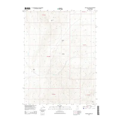
2014 Map of Welches Canyon
USGS Topo · Published 2014About this map
The Tuscarora Mountains dominate this high-desert landscape in northern Nevada, providing a clear view of the topographical relief between Richmond Mtn and the southern reaches of the range. The terrain is defined by complex drainages and elevation shifts, most notably at Richmond Summit. The map captures the natural hydrological patterns of the area, where Welches Cr winds through the namesake Welches Canyon, eventually joined by smaller tributaries like Soap Cr and James Cr. This survey illustrates the Public Land Survey System grid across multiple townships, including t34n r50e and t35n r51e, showing how the land was partitioned in a region primarily shaped by its high-altitude peaks such as Marys Mtn and the absence of significant human infrastructure.
Find a feature on this map
14 named features on this map. Tap any name to fly to it.
Don’t see what you’re looking for? This feature index may not catch every label — zoom into the map to look around manually.
Map Details
Editions of this 2014 Welches Canyon Map
This is the sole edition of this map. No revisions or reprints were ever made.
Other maps of this area

1952 · Carlin
USGS Topo · 1:62,500

1955 · Winnemucca
USGS Topo · 1:250,000

1957 · Beowawe
USGS Topo · 1:62,500

1958 · Winnemucca
USGS Topo · 1:250,000

1962 · Winnemucca
USGS Topo · 1:250,000

1968 · Rodeo Creek SW
USGS Topo · 1:24,000

1968 · Rodeo Creek NE
USGS Topo · 1:24,000

1968 · Welches Canyon
USGS Topo · 1:24,000

1968 · Swales Mountain NW
USGS Topo · 1:24,000

1968 · Rodeo Creek NW
USGS Topo · 1:24,000