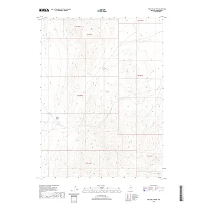
2018 Map of Welches Canyon
USGS Topo · Published 2018About this map
The Tuscarora Mountains dominate this high-desert landscape in northern Eureka County, where drainage patterns define the local geography. Significant peaks such as Richmond Mtn and Richmond Summit anchor the northern reaches of the quadrangle, giving way to the prominent descent of Welches Canyon in the west. This territory is characterized by its hydrological network, with Welches Cr flowing through the canyon while Soap Cr and James Cr drain the eastern slopes toward the basin. The map reveals the intricate township and range grid systems of the t34n r50e and t34n r51e districts, illustrating how legal land partitions were imposed upon the high-altitude terrain of Marys Mtn and the surrounding peaks in the early 21st century.
Find a feature on this map
14 named features on this map. Tap any name to fly to it.
Don’t see what you’re looking for? This feature index may not catch every label — zoom into the map to look around manually.
Map Details
Editions of this 2018 Welches Canyon Map
This is the sole edition of this map. No revisions or reprints were ever made.
Other maps of this area

1952 · Carlin
USGS Topo · 1:62,500

1955 · Winnemucca
USGS Topo · 1:250,000

1957 · Beowawe
USGS Topo · 1:62,500

1958 · Winnemucca
USGS Topo · 1:250,000

1962 · Winnemucca
USGS Topo · 1:250,000

1968 · Rodeo Creek SW
USGS Topo · 1:24,000

1968 · Rodeo Creek NE
USGS Topo · 1:24,000

1968 · Welches Canyon
USGS Topo · 1:24,000

1968 · Swales Mountain NW
USGS Topo · 1:24,000

1968 · Rodeo Creek NW
USGS Topo · 1:24,000