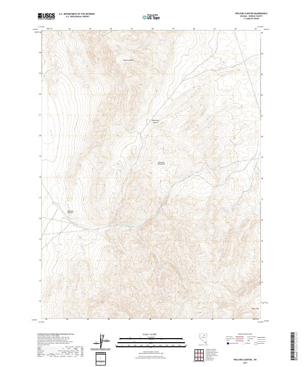
2021 Map of Welches Canyon
USGS Topo · Published 2021About this map
The Tuscarora Mountains dominate the landscape of this high-elevation area in Eureka County, where the terrain is defined by dramatic ridgelines and deep drainage basins. High points like Richmond Mtn and Richmond Summit provide significant topographic relief overlooking the drainages of Welches Cr and Soap Cr. The eponymous Welches Canyon cuts through the central-western portion of the map, illustrating the erosive forces that have shaped this portion of the Great Basin. This recent survey shows a largely undeveloped expanse, primarily utilized for ranching or mining access, as evidenced by the network of local roads and 4WD tracks. Toward the southeastern corner, the terrain rises again toward Marys Mtn near the headwaters of James Cr, reflecting the complex high-desert hydrology and geology characteristic of the region.
Find a feature on this map
14 named features on this map. Tap any name to fly to it.
Don’t see what you’re looking for? This feature index may not catch every label — zoom into the map to look around manually.
Map Details
Editions of this 2021 Welches Canyon Map
This is the sole edition of this map. No revisions or reprints were ever made.
Other maps of this area

1952 · Carlin
USGS Topo · 1:62,500

1955 · Winnemucca
USGS Topo · 1:250,000

1957 · Beowawe
USGS Topo · 1:62,500

1958 · Winnemucca
USGS Topo · 1:250,000

1962 · Winnemucca
USGS Topo · 1:250,000

1968 · Rodeo Creek SW
USGS Topo · 1:24,000

1968 · Rodeo Creek NE
USGS Topo · 1:24,000

1968 · Welches Canyon
USGS Topo · 1:24,000

1968 · Swales Mountain NW
USGS Topo · 1:24,000

1968 · Rodeo Creek NW
USGS Topo · 1:24,000