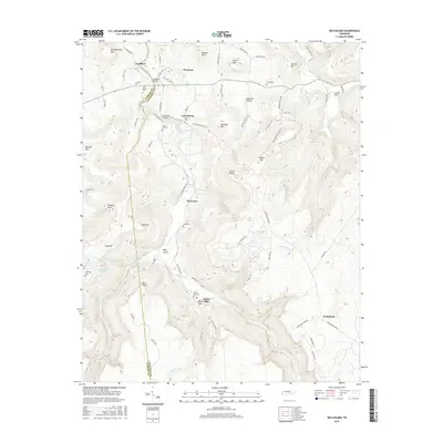
2016 Map of Welchland
USGS Topo · Published 2016About this map
Goodbars and Harmony sit at the northern edge of this landscape, where the rugged topography of the Cumberland Plateau meets the winding course of the Rocky River. The map illustrates a region defined by its significant relief, with prominent peaks like Moulder Mtn, Russell Mtn, and Turkeyscratch Mtn overlooking deep hollows and coves. Settlement is dispersed along the ridge lines and valley floors, connected by a network of winding roads such as Baker Mountain Rd and Old State Hwy 30.
Find a feature on this map
80 named features on this map. Tap any name to fly to it.
Don’t see what you’re looking for? This feature index may not catch every label — zoom into the map to look around manually.
Map Details
Editions of this 2016 Welchland Map
This is the sole edition of this map. No revisions or reprints were ever made.
Other maps of this area

1892 · Pikeville
USGS Topo · 1:125,000

1893 · Mc Minnville
USGS Topo · 1:125,000

1895 · Mc Minnville
USGS Topo · 1:125,000

1895 · Pikeville
USGS Topo · 1:125,000

1935 · Smart Mountain
USGS Topo · 1:24,000

1943 · Cookeville
USGS Topo · 1:100,000

1944 · Cookeville
USGS Topo · 1:100,000
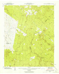
1946 · Smartt Mountain
USGS Topo · 1:24,000
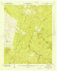
1947 · Smartt Mountain
USGS Topo · 1:24,000

1953 · Chattanooga
USGS Topo · 1:250,000