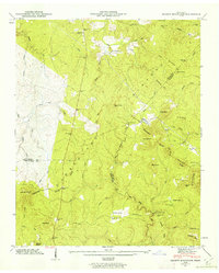
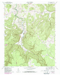
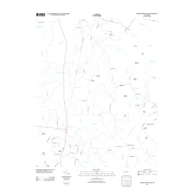
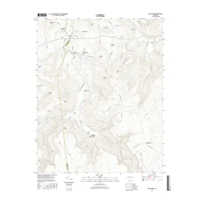
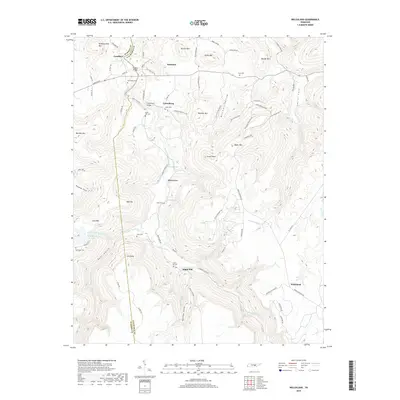
1946 Map of Smartt Mountain
USGS Topo · Published 1962About this map
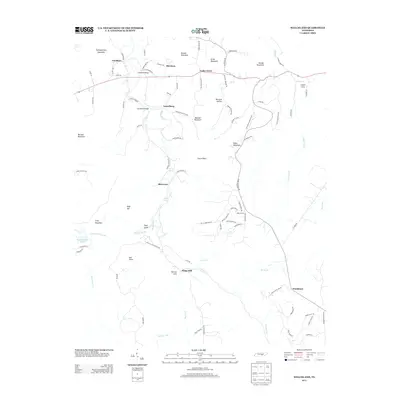
The Cumberland Plateau dominates this mid-century landscape where the borders of Van Buren, Bledsoe, and Sequatchie counties converge. The rugged topography is defined by significant elevations like Smartt Mountain and Jakes Mountain, separated by a complex network of drainage systems including Piney Creek and the meandering Rocky River. This 1946 field examination reveals a sparse but established settlement pattern focused on small gathering points such as Bellview Church and Hitchcox.
Find a feature on this map
73 named features on this map. Tap any name to fly to it.
Don’t see what you’re looking for? This feature index may not catch every label — zoom into the map to look around manually.
Map Details
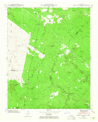
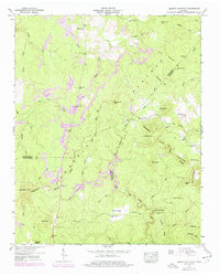
Editions of this 1946 Smartt Mountain Map
4 editions found
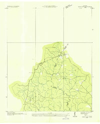
Historical Maps of Hitchcox Through Time
26 maps found
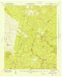
1935 Smart Mountain
Van Buren County, TN
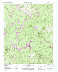
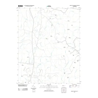
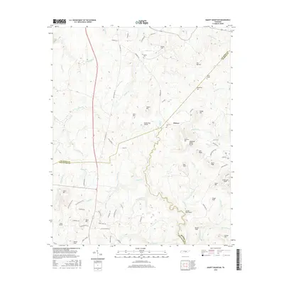
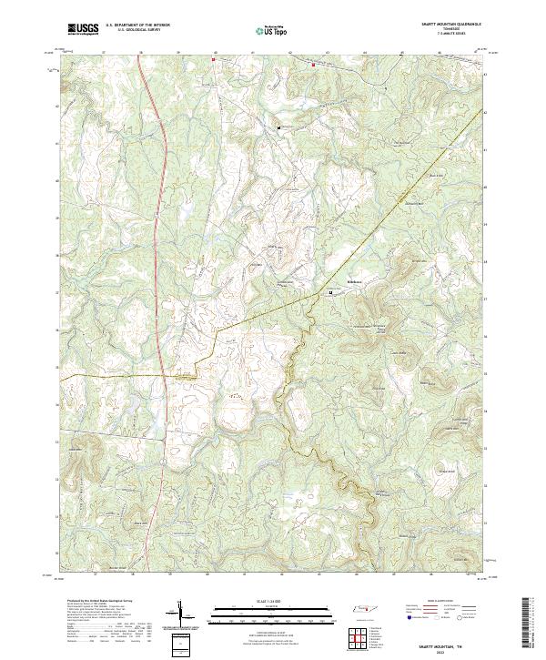
1946 Smartt Mountain
Van Buren County, TN
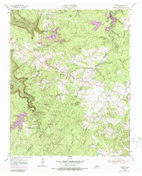
1947 Smartt Mountain
Van Buren County, TN
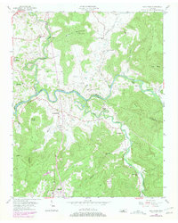
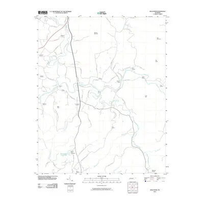
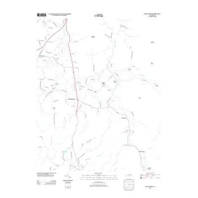
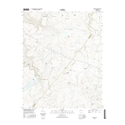
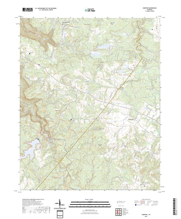
1954 Sampson
Van Buren County, TN
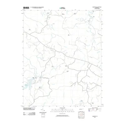
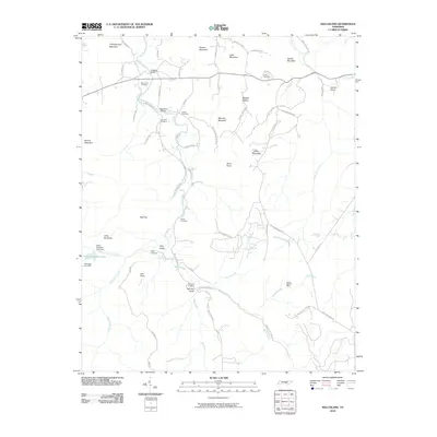
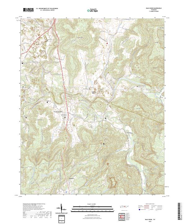
1956 Bald Knob
Van Buren County, TN
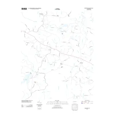
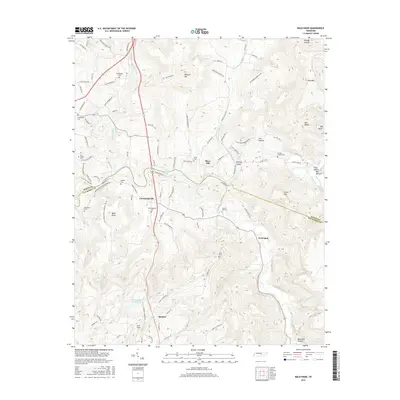
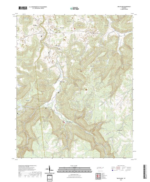
1960 Welchland
Van Buren County, TN
2010 Bald Knob
Van Buren County, TN
2010 Sampson
Van Buren County, TN
2010 Smartt Mountain
Van Buren County, TN
2010 Welchland
Van Buren County, TN
2013 Bald Knob
Van Buren County, TN
2013 Sampson
Van Buren County, TN
2013 Smartt Mountain
Van Buren County, TN
2013 Welchland
Van Buren County, TN
2016 Bald Knob
Van Buren County, TN
2016 Sampson
Van Buren County, TN
2016 Smartt Mountain
Van Buren County, TN
2016 Welchland
Van Buren County, TN
2019 Bald Knob
Van Buren County, TN
2019 Sampson
Van Buren County, TN
2019 Smartt Mountain
Van Buren County, TN
2019 Welchland
Van Buren County, TN
2022 Bald Knob
Van Buren County, TN
2022 Sampson
Van Buren County, TN
2022 Smartt Mountain
Van Buren County, TN
2022 Welchland
Van Buren County, TN