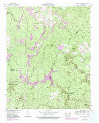
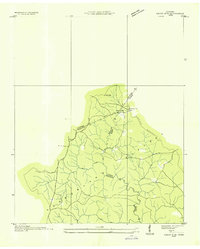
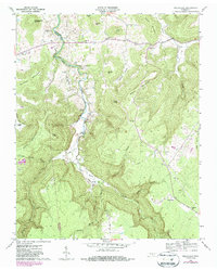
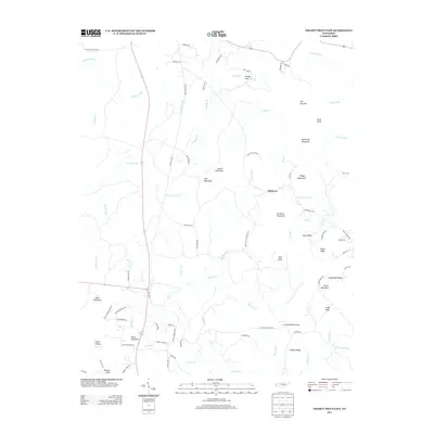
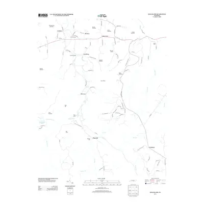
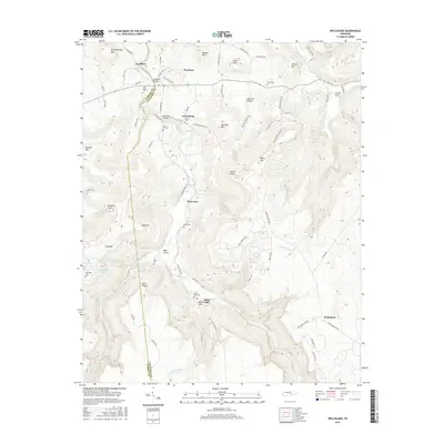
1946 Map of Smartt Mountain
USGS Topo · Published 1992About this map
The Cumberland Plateau landscape of the late 1940s is defined here by the extensive presence of Strip Mines, including the Strip Mine Perry in the southwest. This rugged upland terrain is bisected by the Tennessee Valley Divide, which separates the drainages of the Rocky River and Piney Creek. Notable landmarks include Jordan Rock House and several mountaintop peaks such as Smartt Mtn, Hitchcox Mtn, and Jakes Mtn.
Find a feature on this map
58 named features on this map. Tap any name to fly to it.
Don’t see what you’re looking for? This feature index may not catch every label — zoom into the map to look around manually.
Map Details
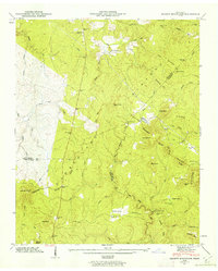
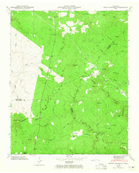
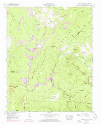
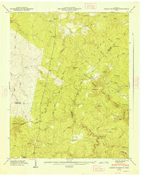
Editions of this 1946 Smartt Mountain Map
4 editions found
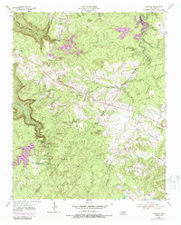
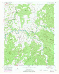
Historical Maps of Hitchcox Through Time
26 maps found
1935 Smart Mountain
Van Buren County, TN
1946 Smartt Mountain
Van Buren County, TN
1947 Smartt Mountain
Van Buren County, TN
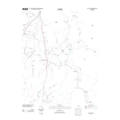
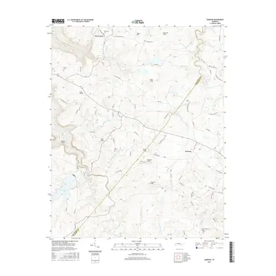
1954 Sampson
Van Buren County, TN
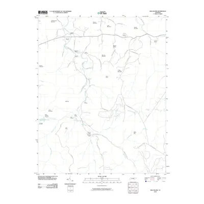
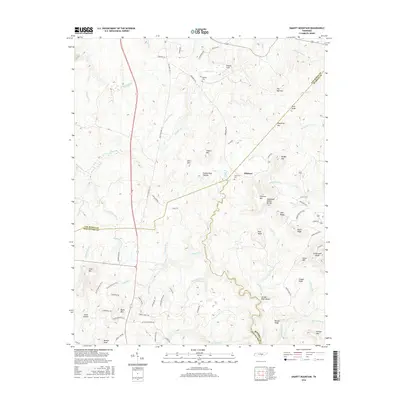
1956 Bald Knob
Van Buren County, TN
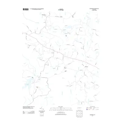
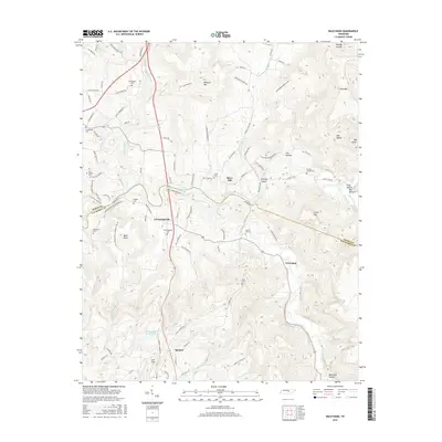
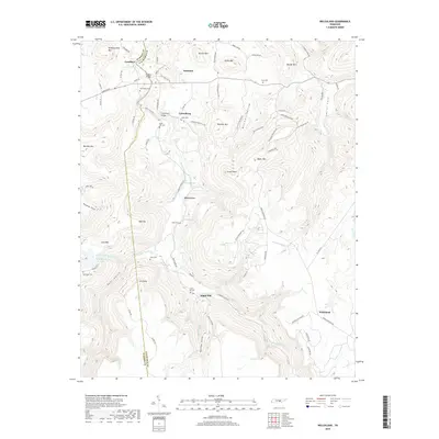
1960 Welchland
Van Buren County, TN
2010 Bald Knob
Van Buren County, TN
2010 Sampson
Van Buren County, TN
2010 Smartt Mountain
Van Buren County, TN
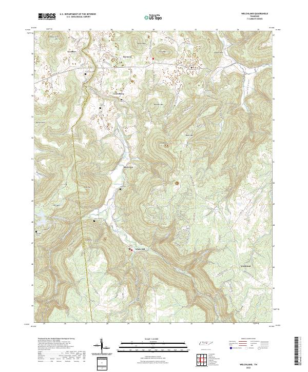
2010 Welchland
Van Buren County, TN
2013 Bald Knob
Van Buren County, TN
2013 Sampson
Van Buren County, TN
2013 Smartt Mountain
Van Buren County, TN
2013 Welchland
Van Buren County, TN
2016 Bald Knob
Van Buren County, TN
2016 Sampson
Van Buren County, TN
2016 Smartt Mountain
Van Buren County, TN
2016 Welchland
Van Buren County, TN
2019 Bald Knob
Van Buren County, TN
2019 Sampson
Van Buren County, TN
2019 Smartt Mountain
Van Buren County, TN
2019 Welchland
Van Buren County, TN
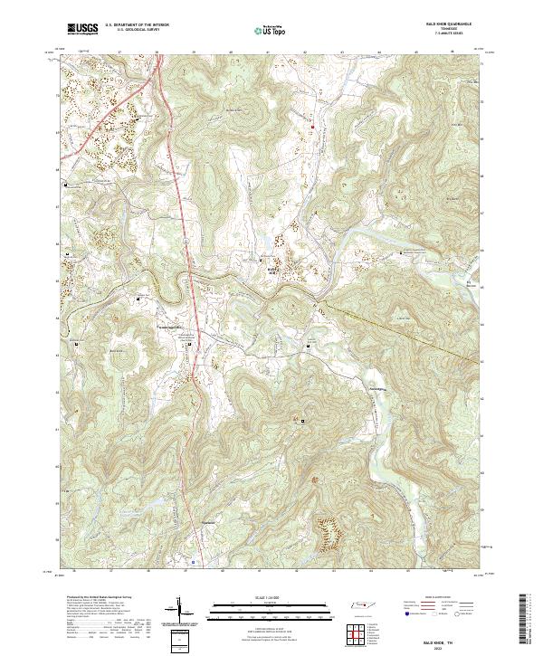
2022 Bald Knob
Van Buren County, TN
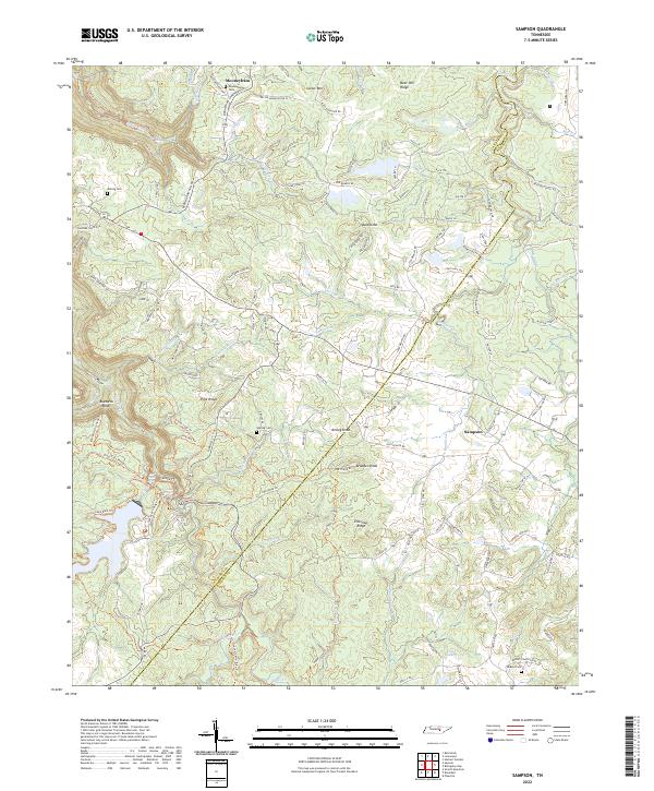
2022 Sampson
Van Buren County, TN
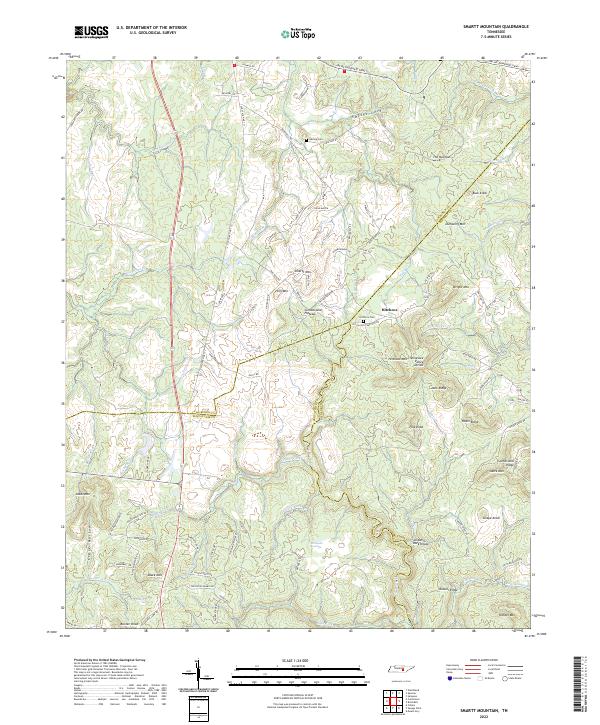
2022 Smartt Mountain
Van Buren County, TN
2022 Welchland
Van Buren County, TN