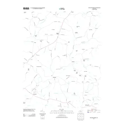
2013 Map of Welchs Creek
USGS Topo · Published 2013About this map
The community of Welchs Creek serves as a central point in this northern Butler County landscape, where the road network connects scattered settlements across a dissected plateau. To the south, Brooklyn and Whittinghill anchor a region defined by family-named landmarks and historical cemeteries, including Lumbstown Cem and Embry Cem. The topography is a complex system of ridges and hollows, with Welch Cr and John Woosley Cr carving deep drainage patterns through the terrain.
Find a feature on this map
116 named features on this map. Tap any name to fly to it.
Don’t see what you’re looking for? This feature index may not catch every label — zoom into the map to look around manually.
Map Details
Editions of this 2013 Welchs Creek Map
This is the sole edition of this map. No revisions or reprints were ever made.
Other maps of this area

1914 · Little Muddy
USGS Topo · 1:62,500

1922 · Leitchfield
USGS Topo · 1:48,000

1922 · Brownsville
USGS Topo · 1:62,500

1923 · Brownsville
USGS Topo · 1:62,500

1925 · Spring Lick
USGS Topo · 1:62,500

1925 · Leitchfield
USGS Topo · 1:62,500

1953 · Ready
USGS Topo · 1:24,000

1954 · Evansville
USGS Topo · 1:250,000

1954 · Spring Lick
USGS Topo · 1:24,000

1954 · Welchs Creek
USGS Topo · 1:24,000