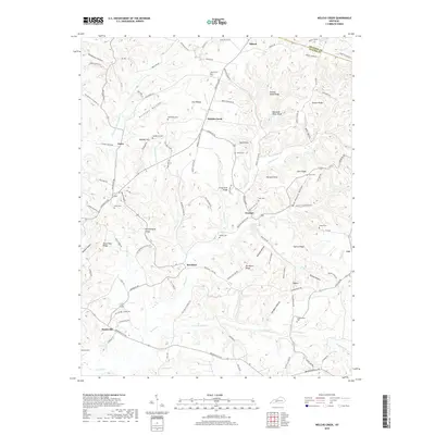
2019 Map of Welchs Creek
USGS Topo · Published 2019About this map
Brooklyn and the surrounding rural communities of Welchs Creek and Grancer define this 2019 survey of the Grayson and Butler County line. The landscape is marked by a series of prominent ridges and deep hollows, including Frog Level Ridge, Squire Ridge, and the curiosly named Haunted Hollow near Huldeville. Many local family histories are etched into the terrain through numerous small burial grounds such as Needmore Cem, Embry Cem, and Lumbstown Cem, which are often situated near historical crossroads and ridges. Notable landmarks like Buzzards Roost Bluff and the natural feature accessible via Grannys Rockhouse Rd break the wooded terrain. The drainage network is dense, featuring Welch Creek, Com Creek, and Haney Fork, illustrating the complex watershed that shaped these isolated settlements and their winding road networks like Brownsville Rd.
Find a feature on this map
97 named features on this map. Tap any name to fly to it.
Don’t see what you’re looking for? This feature index may not catch every label — zoom into the map to look around manually.
Map Details
Editions of this 2019 Welchs Creek Map
This is the sole edition of this map. No revisions or reprints were ever made.
Other maps of this area

1914 · Little Muddy
USGS Topo · 1:62,500

1922 · Leitchfield
USGS Topo · 1:48,000

1922 · Brownsville
USGS Topo · 1:62,500

1923 · Brownsville
USGS Topo · 1:62,500

1925 · Spring Lick
USGS Topo · 1:62,500

1925 · Leitchfield
USGS Topo · 1:62,500

1953 · Ready
USGS Topo · 1:24,000

1954 · Evansville
USGS Topo · 1:250,000

1954 · Spring Lick
USGS Topo · 1:24,000

1954 · Welchs Creek
USGS Topo · 1:24,000