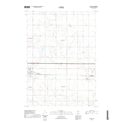
2019 Map of Welcome
USGS Topo · Published 2019About this map
The agricultural landscape of Martin County centers on the community of Welcome, where a grid of residential streets like Harrison St and Mill St meets the industrial corridor of the Chicago and North Western railroad. This 2019 survey documents a region defined by its managed water systems, featuring numerous drainage projects such as County Ditch Number Three and County Ditch Number Seventyone that crisscross the prairie. To the east, the edge of Fairmont appears near the curiously named Timber Lakebed. Local heritage is anchored by several rural church yards, including Trinity Lutheran Cem and Saint Paul's Evangelical Cem south of the interstate. Natural water bodies like Eagle Lake and Swan Slough persist amidst the highly organized sections and township lines of this Minnesota farming heartland.
Find a feature on this map
52 named features on this map. Tap any name to fly to it.
Don’t see what you’re looking for? This feature index may not catch every label — zoom into the map to look around manually.
Map Details
Editions of this 2019 Welcome Map
This is the sole edition of this map. No revisions or reprints were ever made.
Other maps of this area

1954 · Fairmont
USGS Topo · 1:250,000

1958 · Fairmont
USGS Topo · 1:250,000

1967 · Truman
USGS Topo · 1:24,000

1967 · Wilmert Lake
USGS Topo · 1:24,000

1967 · Fairmont
USGS Topo · 1:24,000

1970 · St James SE
USGS Topo · 1:24,000

1970 · Ceylon
USGS Topo · 1:24,000

1970 · Trimont
USGS Topo · 1:24,000

1970 · Welcome
USGS Topo · 1:24,000

1970 · Wilbert
USGS Topo · 1:24,000