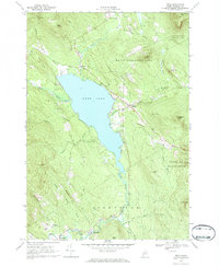
1968 Map of Weld
USGS Topo · Published 1970About this map
Webb Lake dominates the central terrain of this 1968 survey, its waters feeding into the southward-flowing Webb River toward Carthage. The surrounding landscape is characterized by prominent elevations and named ridges, including Rand Ridge, Center Hill, and Hurricane Mtn. The village of Weld sits on the eastern shore of the lake, serving as a hub between the more remote Perkins Plantation and the structured recreation of Mount Blue State Park.
Find a feature on this map
50 named features on this map. Tap any name to fly to it.
Don’t see what you’re looking for? This feature index may not catch every label — zoom into the map to look around manually.
Map Details
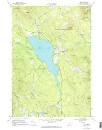
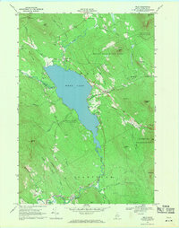
Editions of this 1968 Weld Map
3 editions found
Other maps of this area

1926 · Dixfield
USGS Topo · 1:62,500

1927 · Rumford
USGS Topo · 1:48,000

1929 · Phillips
USGS Topo · 1:48,000

1929 · Dixfield
USGS Topo · 1:62,500

1930 · Rumford
USGS Topo · 1:62,500

1932 · Phillips
USGS Topo · 1:62,500

1933 · Rangeley
USGS Topo · 1:48,000

1939 · Rangeley
USGS Topo · 1:62,500

1949 · Rangeley
USGS Topo · 1:62,500

1950 · Lewiston
USGS Topo · 1:250,000