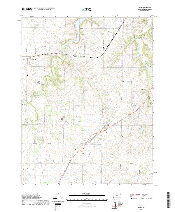
2022 Map of Welda
USGS Topo · Published 2022About this map
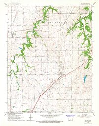
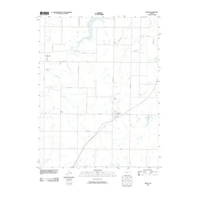
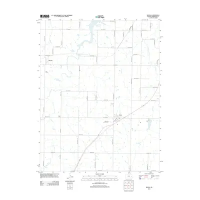
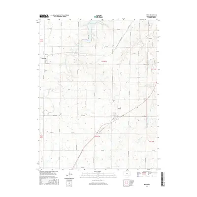
Welda and Mont Ida serve as the primary hubs in this Anderson County landscape, defined by a persistent grid of rural roads and numerous local burial grounds. The agricultural character of the region is punctuated by family and community history found at Welda Cem, Mont Ida Cem, Wardell Cem, and Hyatt Cem. These landmarks, along with a network of local routes like Old Welda Rd and Oil Field Rd, indicate the long-term settlement patterns of the Kansas plains. Waterways including S Fork Pottawatomie Cr and Bradshaw Cr meander through the townships, while Cedar Cr and Skunk Br drain the undulating prairie. The map provides a contemporary record of these enduring communities, capturing the intersection of section lines and natural drainage that has shaped the area for generations.
Find a feature on this map
56 named features on this map. Tap any name to fly to it.
Don’t see what you’re looking for? This feature index may not catch every label — zoom into the map to look around manually.
Map Details
Editions of this 2022 Welda Map
This is the sole edition of this map. No revisions or reprints were ever made.
Historical Maps of Welda Through Time
6 maps found