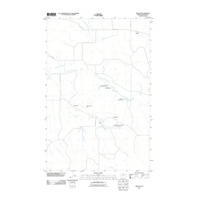
2011 Map of Weldon
USGS Topo · Published 2011About this map
McGuire Creek and its various forks define the topography of this corner of McCone County, creating a network of drainage that sustains the region's agricultural operations. The settlement of Weldon sits at the junction of several rural arteries, including Weldon Rd and Prairie Elk Rd, serving as a central point in a landscape of high ground and water management. Local nomenclature reflects the terrain with features like Big Heaven and Little Heaven, while the numerous reservoirs—such as the Dreyer Brothers Incorporated Number 2 Dam and the Fillenworth Reservoir Number 1 Dam—illustrate the critical importance of water storage for ranching. Historical education infrastructure is remembered through Cutting School Rd, providing a hint of earlier community centers in this sparsely populated area of eastern Montana.
Find a feature on this map
21 named features on this map. Tap any name to fly to it.
Don’t see what you’re looking for? This feature index may not catch every label — zoom into the map to look around manually.
Map Details
Editions of this 2011 Weldon Map
This is the sole edition of this map. No revisions or reprints were ever made.
Other maps of this area

1954 · Jordan
USGS Topo · 1:250,000

1954 · Glendive
USGS Topo · 1:250,000

1956 · Jordan
USGS Topo · 1:250,000

1957 · Glendive
USGS Topo · 1:250,000

1958 · Jordan
USGS Topo · 1:250,000

1958 · Glendive
USGS Topo · 1:250,000

1964 · Jordan
USGS Topo · 1:250,000

1973 · Crow Springs
USGS Topo · 1:24,000

1973 · Rodgers Hall
USGS Topo · 1:24,000

1978 · Fort Peck Lake East
USGS Topo · 1:100,000