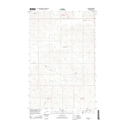
2014 Map of Weldon
USGS Topo · Published 2014About this map
The settlement of Weldon serves as a lone hub in this McCone County landscape, situated where MT-252 intersects with Weldon Rd. The area is defined by an intricate network of drainage systems, including the headwaters and branches of Upper McGuire Cr, Middle Fork McGuire Cr, and Middle Fork Prairie Elk Cr. This complex hydrology supports local water management efforts, evidenced by the presence of Dreyer Reservoir Number 2 and Dreyer Reservoir in the southern portion of the quadrangle.
Find a feature on this map
22 named features on this map. Tap any name to fly to it.
Don’t see what you’re looking for? This feature index may not catch every label — zoom into the map to look around manually.
Map Details
Editions of this 2014 Weldon Map
This is the sole edition of this map. No revisions or reprints were ever made.
Other maps of this area

1954 · Jordan
USGS Topo · 1:250,000

1954 · Glendive
USGS Topo · 1:250,000

1956 · Jordan
USGS Topo · 1:250,000

1957 · Glendive
USGS Topo · 1:250,000

1958 · Jordan
USGS Topo · 1:250,000

1958 · Glendive
USGS Topo · 1:250,000

1964 · Jordan
USGS Topo · 1:250,000

1973 · Crow Springs
USGS Topo · 1:24,000

1973 · Rodgers Hall
USGS Topo · 1:24,000

1978 · Fort Peck Lake East
USGS Topo · 1:100,000