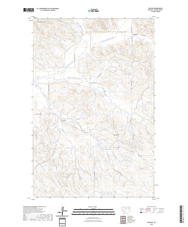
2024 Map of Weldon
USGS Topo · Published 2024About this map
Weldon serves as the primary focal point in this remote section of McCone County, Montana, where a network of gravel roads and fire trails crisscrosses a high-prairie landscape defined by complex drainage systems. The terrain is marked by distinctive local identifiers like Big Heaven and Little Heaven, while a series of watercourses including Upper McGuire Creek and Middle Fork Prairie Elk Creek flow through the northern reaches. Agricultural and ranching infrastructure is evident through features such as Dreyer Reservoir and family-named thoroughfares like Fillenworth Rd. The map also traces historical travel routes, such as Cutting School Rd, which hint at the former locations of rural community centers. In the southern portion, the landscape shifts toward the drainage of Coal Creek and Horse Creek, under the management of multiple township and range sections.
Find a feature on this map
27 named features on this map. Tap any name to fly to it.
Don’t see what you’re looking for? This feature index may not catch every label — zoom into the map to look around manually.
Map Details
Editions of this 2024 Weldon Map
This is the sole edition of this map. No revisions or reprints were ever made.
Other maps of this area

1954 · Jordan
USGS Topo · 1:250,000

1954 · Glendive
USGS Topo · 1:250,000

1956 · Jordan
USGS Topo · 1:250,000

1957 · Glendive
USGS Topo · 1:250,000

1958 · Jordan
USGS Topo · 1:250,000

1958 · Glendive
USGS Topo · 1:250,000

1964 · Jordan
USGS Topo · 1:250,000

1973 · Crow Springs
USGS Topo · 1:24,000

1973 · Rodgers Hall
USGS Topo · 1:24,000

1978 · Fort Peck Lake East
USGS Topo · 1:100,000