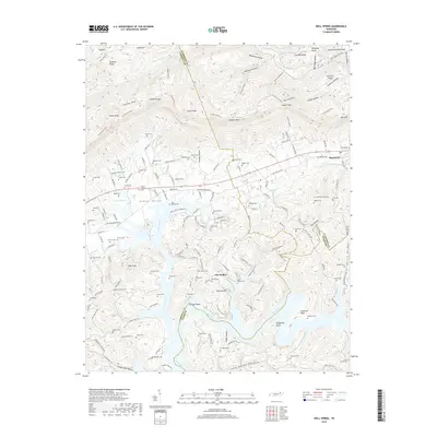
2019 Map of Well Spring
USGS Topo · Published 2019About this map
Powell Valley serves as the central corridor for this 2019 survey, where the historic communities of Well Spring and Speedwell are situated along the Old State Hwy 63. The landscape is defined by the sharp transition from the valley floor to the high ridges of Log Mountains and Cumberland Mountain. The presence of the Cumberland Trail winding through Herring Cove and past McLean Rock highlights the area's continued importance for mountain passage and recreation.
Find a feature on this map
107 named features on this map. Tap any name to fly to it.
Don’t see what you’re looking for? This feature index may not catch every label — zoom into the map to look around manually.
Map Details
Editions of this 2019 Well Spring Map
This is the sole edition of this map. No revisions or reprints were ever made.
Other maps of this area

1886 · Cumberland Gap
USGS Topo · 1:125,000

1888 · Cumberland Gap
USGS Topo · 1:125,000

1890 · Williamsburg
USGS Topo · 1:125,000

1891 · Cumberland Gap
USGS Topo · 1:125,000

1893 · Briceville
USGS Topo · 1:125,000

1894 · Williamsburg
USGS Topo · 1:125,000

1895 · Briceville
USGS Topo · 1:125,000

1896 · Briceville
USGS Topo · 1:125,000

1897 · Maynardville
USGS Topo · 1:125,000

1900 · Maynardville
USGS Topo · 1:125,000