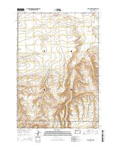
2014 Map of Well Spring
USGS Topo · Published 2014About this map
Well Spring serves as a vital focal point in this high-desert landscape of Morrow County, where water sources dictated the movement of early travelers and later settlers. The presence of Wells Spring Cem near the intersection of Immigrant Ln and Wells Springs Rd marks the location of a historic resting place along these arid transit corridors. The terrain is defined by dramatic depressions like Well Spring Canyon and Juniper Canyon, which cut through the plateau to reach sparse but essential water at Tub Springs and Strait Spring. The road network, including the Ione Boardman Rd, illustrates the continued importance of these traditional routes in connecting the remote reaches of eastern Oregon, maintaining the same spatial logic established by the earliest pioneer trails in the region.
Find a feature on this map
11 named features on this map. Tap any name to fly to it.
Don’t see what you’re looking for? This feature index may not catch every label — zoom into the map to look around manually.
Map Details
Editions of this 2014 Well Spring Map
This is the sole edition of this map. No revisions or reprints were ever made.
Other maps of this area

1906 · Blalock Island
USGS Topo · 1:125,000

1908 · Blalock Island
USGS Topo · 1:125,000

1953 · Pendleton
USGS Topo · 1:250,000

1956 · Pendleton
USGS Topo · 1:250,000

1962 · Boardman
USGS Topo · 1:24,000

1962 · Clarke
USGS Topo · 1:24,000

1962 · Crow Butte
USGS Topo · 1:24,000

1968 · Ione North
USGS Topo · 1:24,000
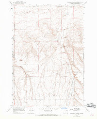
1968 · Strawberry Canyon NE
USGS Topo · 1:24,000
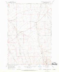
1968 · Strawberry Canyon SE
USGS Topo · 1:24,000