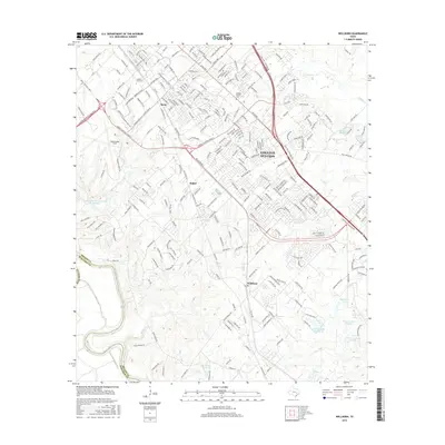
2016 Map of Wellborn
USGS Topo · Published 2016About this map
College Station and the sprawling campus of Texas A & M Univ dominate the northern portion of this Brazos County landscape, where the urban grid gives way to the creek-carved terrain of the Brazos Valley. The BNSF Railway serves as a central artery through the region, passing through the historic community of Wellborn and the smaller settlements of Koppe and Spear. The landscape is defined by its water system, with the Brazos River forming the western boundary and numerous smaller bodies like Frierson Lake Number 1 and Spearman Lake dotting the southeastern corner.
Find a feature on this map
266 named features on this map. Tap any name to fly to it.
Don’t see what you’re looking for? This feature index may not catch every label — zoom into the map to look around manually.
Map Details
Editions of this 2016 Wellborn Map
This is the sole edition of this map. No revisions or reprints were ever made.
Other maps of this area

1913 · Millican
USGS Topo · 1:31,680

1914 · Gay Hill
USGS Topo · 1:62,500

1914 · Navasota
USGS Topo · 1:62,500

1954 · Austin
USGS Topo · 1:250,000

1956 · Bryan
USGS Topo · 1:62,500

1956 · Carlos
USGS Topo · 1:62,500

1959 · Millican
USGS Topo · 1:24,000

1959 · Clay
USGS Topo · 1:24,000

1959 · Reliance
USGS Topo · 1:24,000

1959 · Ferguson Crossing
USGS Topo · 1:24,000