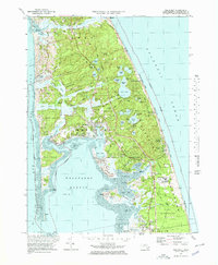
1972 Map of Wellfleet
USGS Topo · Published 1978About this map
Wellfleet and the surrounding Outer Cape landscape are shown here in the early 1970s, characterized by a complex network of coastal ponds and tidal inlets. The interface between the protected waters of Wellfleet Harbor and the open Atlantic Ocean defines the region, with prominent landforms like Lieutenant Island and Griffin Island breaking up the western marshes. Cultural landmarks of significant historical weight are present, including the Marconi Station Site on the Atlantic side and the National Seashore Headquarters near the South Wellfleet boundary. The map captures the area as it transitioned into a more conservation-focused era, evidenced by the Audubon Bird Sanctuary and the Wellfleet-by-the-Sea Wildlife Management Area. Inland, numerous glacial kettle holes like Gull Pond and Long Pond dot the terrain, while old family names persist on features like Lombard Hollow and Paradise Hollow.
Find a feature on this map
84 named features on this map. Tap any name to fly to it.
Don’t see what you’re looking for? This feature index may not catch every label — zoom into the map to look around manually.
Map Details
Editions of this 1972 Wellfleet Map
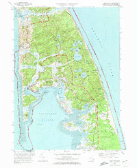
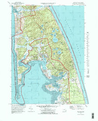
3 editions found
Other maps of this area

1887 · Wellfleet
USGS Topo · 1:62,500

1887 · Provincetown
USGS Topo · 1:62,500

1889 · Provincetown
USGS Topo · 1:62,500

1889 · Wellfleet
USGS Topo · 1:62,500

1893 · Wellfleet
USGS Topo · 1:62,500

1898 · Provincetown
USGS Topo · 1:62,500

1942 · Cape Cod Bay
USGS Topo · 1:125,000

1942 · Nauset
USGS Topo · 1:125,000

1944 · Orleans
USGS Topo · 1:31,680

1944 · Wellfleet
USGS Topo · 1:31,680