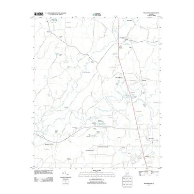
2011 Map of Wellington
USGS Topo · Published 2011About this map
Ohatchee Mountains and Chalybeate Mountain define the topography of this corner of Alabama, where the Alexandria Valley provides a level floor for diverse rural settlements. Local history is deeply embedded in the land through a high density of small cemeteries like Hebron Cemetery and Crooks Cemetery, which often sit near crossroads that have served as community hubs for generations.
Find a feature on this map
139 named features on this map. Tap any name to fly to it.
Don’t see what you’re looking for? This feature index may not catch every label — zoom into the map to look around manually.
Map Details
Editions of this 2011 Wellington Map
This is the sole edition of this map. No revisions or reprints were ever made.
Other maps of this area

1889 · Springville
USGS Topo · 1:125,000

1892 · Springville
USGS Topo · 1:125,000

1900 · Anniston
USGS Topo · 1:125,000

1947 · Anniston
USGS Topo · 1:24,000

1947 · Dunaway Mountain
USGS Topo · 1:24,000

1947 · Ragland
USGS Topo · 1:62,500

1947 · Colvin Gap
USGS Topo · 1:24,000

1947 · Jacksonville
USGS Topo · 1:24,000

1947 · Glencoe
USGS Topo · 1:24,000

1947 · Wellington
USGS Topo · 1:24,000